Bamford Edge, Gritstone escarpment near Bamford, England.
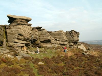
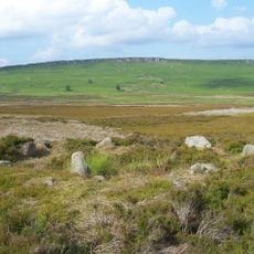
Bamford Edge is a gritstone escarpment that runs along a ridge above the village of Bamford, in the Peak District. The rock face drops sharply on one side and opens onto a long, unbroken view over the Hope Valley and the surrounding moorland.
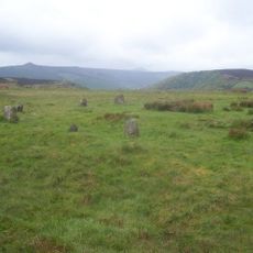
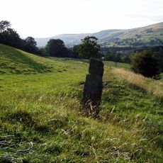
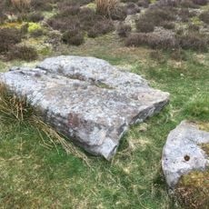
The ridge was once part of an old route linking nearby settlements, and traces of a medieval pathway can still be found along its length. This path saw regular use over many centuries, long before the area became known for walking and climbing.
Climbers come here regularly to work on routes across the gritstone surfaces, and the rock faces have become a meeting point for people who climb throughout the year. The place also draws walkers who follow the ridge path to take in the open views over the valley below.
The most common access point is a stile near New Road, with parking available in lay-bys close by. The walk up to the ridge is straightforward, though the ground can be uneven and sturdy footwear is a good idea.
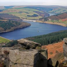
On the south-western end, there is an overhanging rock ledge that juts out over the valley and gives a view across the entire Hope Valley from a single point. Many visitors find it only after walking along the escarpment for a while, as it is not visible from the main path.
The community of curious travelers
AroundUs brings together thousands of curated places, local tips, and hidden gems, enriched daily by 60,000 contributors worldwide.