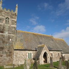
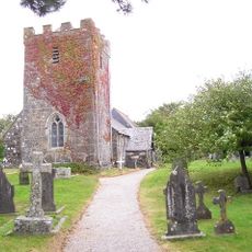
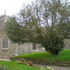
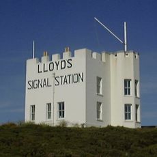
Caerthillian to Kennack, Scientific conservation site in Kerrier, Cornwall
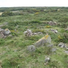
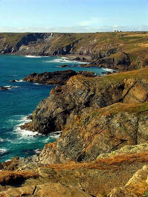
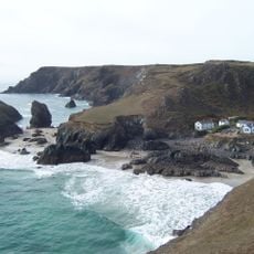
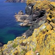
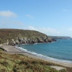
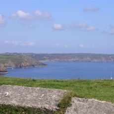
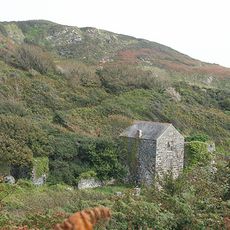
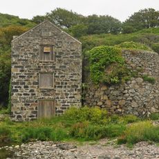
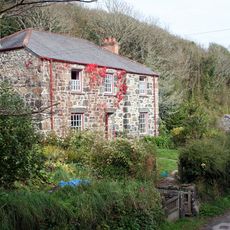
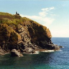
Caerthillian to Kennack is a protected area covering roughly 140 hectares along the Lizard Peninsula coastline, featuring diverse marine environments, rocky reefs, and sand dunes. The terrain supports different habitats that are home to various plant and animal species monitored regularly by conservation staff.
The site gained protected status as a Site of Special Scientific Interest in 1951, when it was previously called South and East Lizard. Boundary adjustments were made in following years to strengthen protection of these important coastal areas.
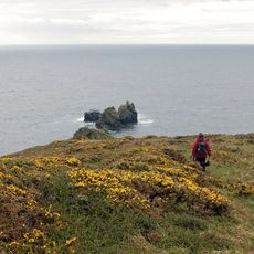
The South West Coast Path runs through this area, offering walkers a way to experience the natural settings while contributing to the protection of the landscape.
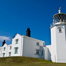
The site is managed by Natural England and includes walking paths that allow gradual access to different sections throughout the year. Visitors should wear sturdy footwear and watch tidal conditions, as some areas become difficult to reach at certain times.
A pair of Cornish choughs bred in a cave at Lizard Point in 2002, marking the first nesting of this species in Cornwall after 50 years. This represented a major milestone for the region's bird life and demonstrated the success of protection efforts.
The community of curious travelers
AroundUs brings together thousands of curated places, local tips, and hidden gems, enriched daily by 60,000 contributors worldwide.
![Lizard Wireless Station Including Base Of Aerial Mast To North [Formerly Known As Marconi Bungalow]](https://img7.digsty.com/sSoN-IgmHOKdyYmOeejS-9tV3-48s3bomb_bIhjzrXM/rs:fill:230:230:1/g:fp:0.5:0.5/czM6Ly9hcm91bmR1cy8xNC8xNjU2ODMxNzgtZDYzY2M1MTYuanBn.jpg)