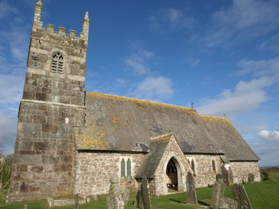
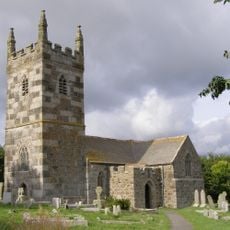
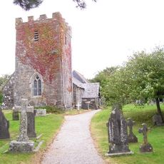
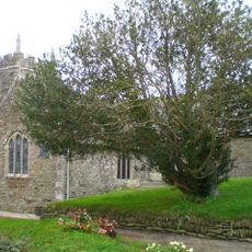
St Grada and Holy Cross Church, Grade, Medieval parish church in Grade-Ruan, England
St Grada and Holy Cross Church is a medieval parish church near Grade-Ruan built with rubble stone walls strengthened by granite and serpentine blocks. The tower, dating to around 1400 and lacking exterior buttresses, forms a compact structure with a simple rectangular body and a crowning belfry.
The building originated around 1250 and was known as St Cross by 1261 before acquiring its current name over time. Architect Edward William Godwin undertook extensive restoration work between 1862 and 1863, fundamentally reshaping the structure's interior and exterior.
The name references two separate saints, reflecting the layered spiritual history of this coastal place. Visitors notice how the interior keeps its modest character, with worn stone and simple fittings that speak to generations of worshippers.
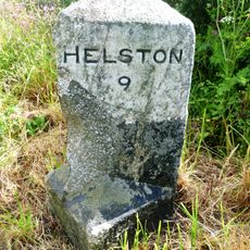
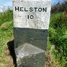
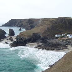
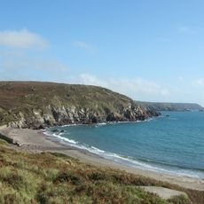
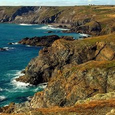
The church sits in a remote location along a grassy track, requiring a walk from nearby Cadgwith or other nearby settlements to reach it. Visitors should wear comfortable shoes and expect a rural setting with minimal facilities in the immediate area.
A small hedgehog has made its home within the organ pipes, creating an unexpected resident of this centuries-old structure. The organ itself was built by Brewer and Co of Truro in 1885 and remains a distinctive feature within the church.
The community of curious travelers
AroundUs brings together thousands of curated places, local tips, and hidden gems, enriched daily by 60,000 contributors worldwide.
![Lizard Wireless Station Including Base Of Aerial Mast To North [Formerly Known As Marconi Bungalow]](https://img7.digsty.com/sSoN-IgmHOKdyYmOeejS-9tV3-48s3bomb_bIhjzrXM/rs:fill:230:230:1/g:fp:0.5:0.5/czM6Ly9hcm91bmR1cy8xNC8xNjU2ODMxNzgtZDYzY2M1MTYuanBn.jpg)