Asparagus Island, Tidal island in Kynance Cove, Cornwall, United Kingdom
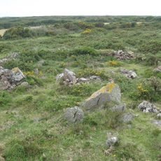
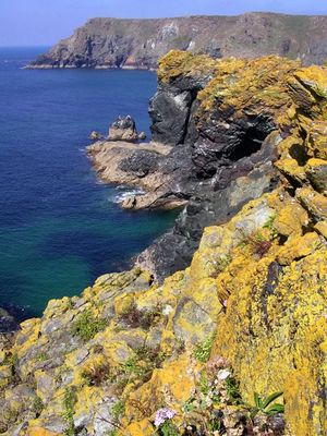
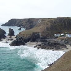
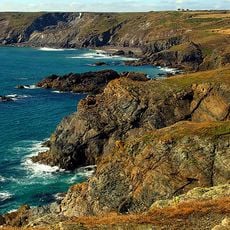
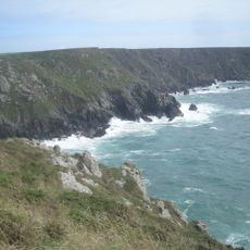
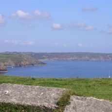
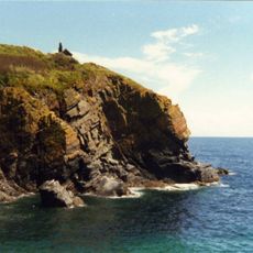
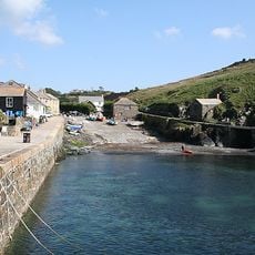
Asparagus Island is a tidal island in Kynance Cove on the Cornish coast that emerges from the sea at low tide and submerges again at high tide. The formation consists of rough rock with natural crevices and sits on the eastern side of Mount's Bay within the Lizard peninsula.
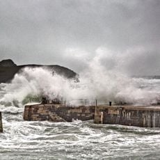
The island gained prominence in 1832 when the Danish ship Ospra broke apart in rough waters off the coast, scattering its cargo from the Caribbean into the sea. The wreck claimed lives and left its mark on local maritime history for years to come.
The island carries the Cornish name Enys Merlosowen and has served as a place where early communities left their mark on this coastline. Artifacts from thousands of years ago show how people used this rocky spot despite its isolation.
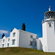
The island is reached via the South-west Coastal Path from the National Trust car park, but checking tide schedules is essential before attempting to visit. The best time to explore is during low tide when the rock formation is fully exposed and safe to access.
The island features two natural blowholes with distinct behaviors that activate only at specific tide levels. The Devil's Bellows produces unusual sounds during half-tide, while an opening called the Post Office pulls with surprising force.
The community of curious travelers
AroundUs brings together thousands of curated places, local tips, and hidden gems, enriched daily by 60,000 contributors worldwide.
![Lizard Wireless Station Including Base Of Aerial Mast To North [Formerly Known As Marconi Bungalow]](https://img7.digsty.com/sSoN-IgmHOKdyYmOeejS-9tV3-48s3bomb_bIhjzrXM/rs:fill:230:230:1/g:fp:0.5:0.5/czM6Ly9hcm91bmR1cy8xNC8xNjU2ODMxNzgtZDYzY2M1MTYuanBn.jpg)