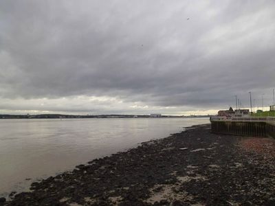
Cast Iron Shore, Maritime industrial site at Mersey River banks, Liverpool, United Kingdom
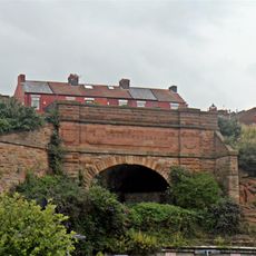
Cast Iron Shore is a waterfront site along the southern banks of the Mersey River marked by a distinctive reddish-colored beach from ferric oxide deposits. The shoreline displays remains of maritime industrial structures and crumbling masonry that tell of its past role in shipbreaking and metal processing.
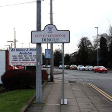
The name came from a nearby iron foundry that processed materials and rust deposits left from ships dismantled at Dingle foreshore during the 19th century. This industrial activity defined the area's character and role in Liverpool's maritime economy for decades.
The Beatles referenced this location in their song Glass Onion, becoming part of Liverpool's musical heritage. Locals adopted the nickname 'Cazzy' for this waterfront section, showing how the place became woven into everyday conversation.
The shoreline connects to the Otterspool promenade, offering visitors walking paths along the water's edge. The area is most accessible during low tide when more of the distinctive red beach is revealed.
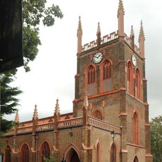
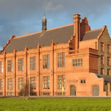
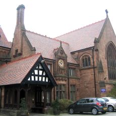
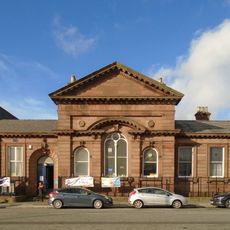
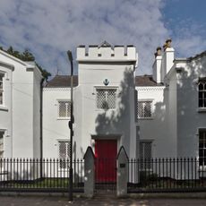
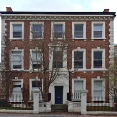
St. Michael's Church, built in 1815 near the shore, incorporated extensive cast iron elements throughout its structure. The church became known as Cast Iron Church because iron was such a dominant feature of its design.
The community of curious travelers
AroundUs brings together thousands of curated places, local tips, and hidden gems, enriched daily by 60,000 contributors worldwide.