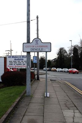
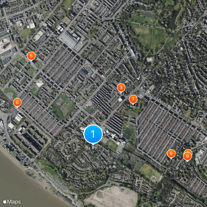
Dingle, Inner suburb in Liverpool, Great Britain.
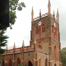
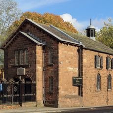
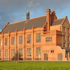
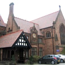
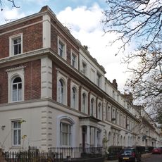
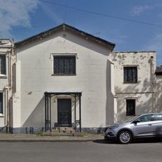
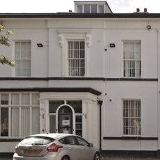
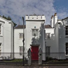
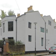
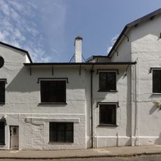
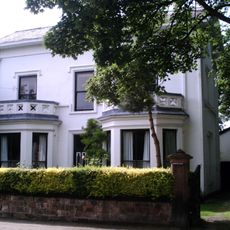
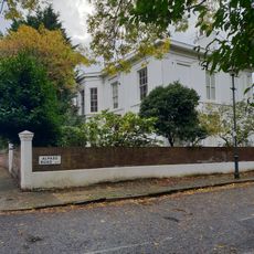
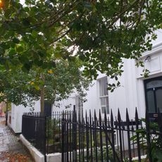
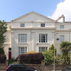
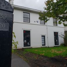
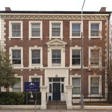
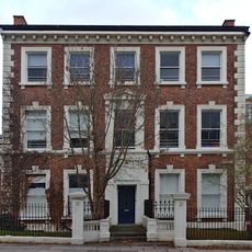
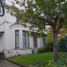
Dingle is an inner suburb at Liverpool's southern edge, featuring a mix of traditional Victorian houses and newer residential developments scattered throughout the streets. The area is characterized by its residential layout, with varying architectural styles reflecting different periods of construction.
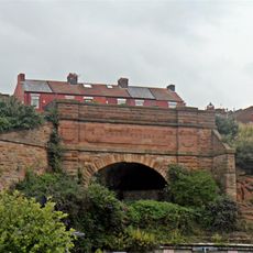
The area developed from a rural landscape with large houses and gardens in the 1850s into a more urban settlement. Its importance grew after the Liverpool Overhead Railway terminus opened in 1896, connecting it to the broader city network.
The neighborhood became known through television productions, with streets like Garswood and Elswick serving as filming locations for British television series. Today, visitors can walk these same streets and recognize scenes from shows that reached many households.
Regular bus services connect the neighborhood to Liverpool city center, while Brunswick and St. Michaels railway stations on the Northern Line are nearby for further travel. Walking is a practical way to explore the area and take in the mix of residential streets and architecture.
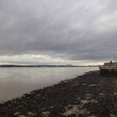
The name comes from Dingle Brook, a waterway that once flowed from High Park Street toward Park Road before reaching the River Mersey. Though the stream is no longer visible today, it shaped the area's identity and gave the neighborhood its distinctive name.
The community of curious travelers
AroundUs brings together thousands of curated places, local tips, and hidden gems, enriched daily by 60,000 contributors worldwide.