
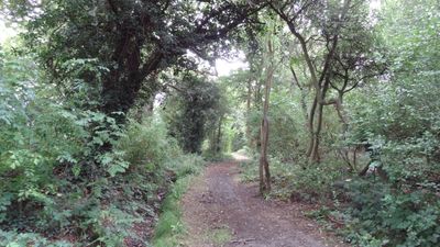
Clay Lane, Footpath and bridleway in Edgware, London
Location: London Borough of Barnet
GPS coordinates: 51.63000,-0.27300
Latest update: March 26, 2025 23:09
Stanmore and Canons Park Synagogue
2.1 km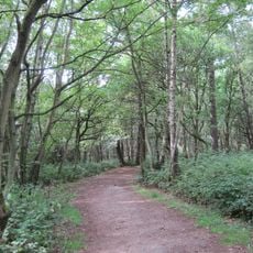
Scratchwood
1.3 km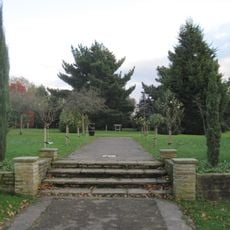
Edgwarebury Park
870 m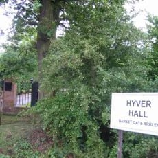
Hyver Hall
1.8 km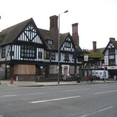
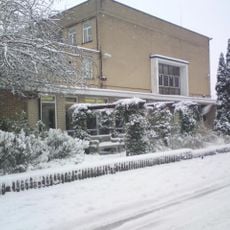
Railway Hotel
2.1 km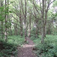
Stanmore Country Park, London
2.5 km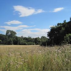
Totteridge Fields
2.7 km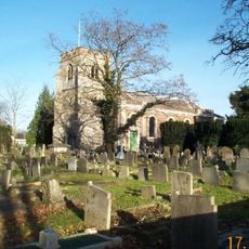
Church of St Lawrence, Little Stanmore
2.7 km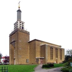
John Keble Church
1.9 km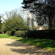
Barnet Gate Mill
2.5 km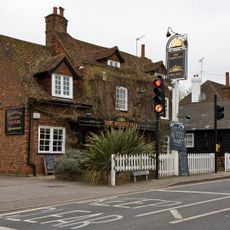
Rising Sun
2.2 km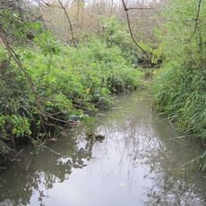
Deans Brook
1.6 km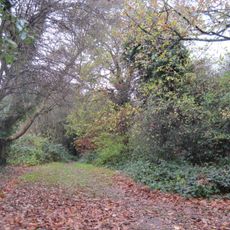
Stoneyfields Park
914 m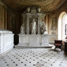
Chandos Mausoleum
2.7 km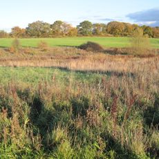
Edgware Way Grassland
1.2 km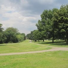
Watling Park
2.7 km
St Margaret of Antioch, Edgware
2.1 km
The Holly Bush
2.4 km
Church of St Nicholas
2.4 km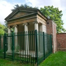
Garden Temple, Supporting Walls And Raised Paved Area In Canons Park
2.4 km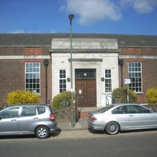
Mill Hill Library
2.6 km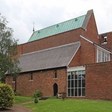
Convent Of St Mary At The Cross
1.1 km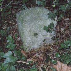
Milestone Situated 30 Yards West Of Junction With Hendon Wood Lane
2.5 km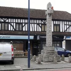
Edgware War Memorial
2.1 km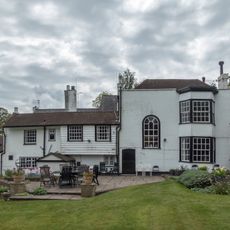
Highwood Ash And Stables
2.2 km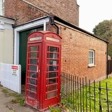
Telephone Kiosk Outside Old Mill House
2.8 km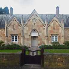
Days Almshouses
1.8 km
Holcombe House
2.6 kmReviews
Visited this place? Tap the stars to rate it and share your experience / photos with the community! Try now! You can cancel it anytime.
Discover hidden gems everywhere you go!
From secret cafés to breathtaking viewpoints, skip the crowded tourist spots and find places that match your style. Our app makes it easy with voice search, smart filtering, route optimization, and insider tips from travelers worldwide. Download now for the complete mobile experience.

A unique approach to discovering new places❞
— Le Figaro
All the places worth exploring❞
— France Info
A tailor-made excursion in just a few clicks❞
— 20 Minutes