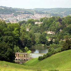
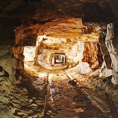
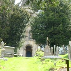
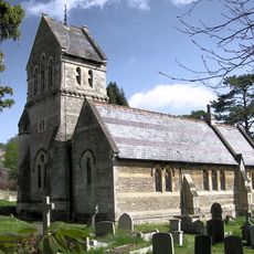
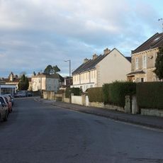
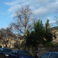
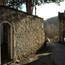
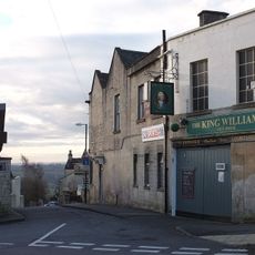
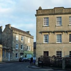
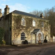
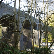
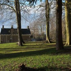
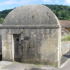
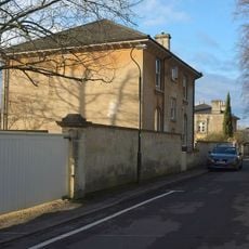
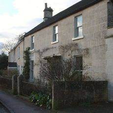
Combe Down, village and electoral ward in Bath and North East Somerset, United Kingdom
Location: Bath and North East Somerset
GPS coordinates: 51.36100,-2.34250
Latest update: May 7, 2025 23:40
Midford Castle
1.2 km
Prior Park
465 m
Prior Park Landscape Garden
696 m
Combe Down and Bathampton Down Mines
150 m
Bath Abbey Cemetery
1.1 km
St Michael's Church, Monkton Combe
1.1 km
Church of the Holy Trinity
301 m
Combe Down Post Office
533 m
83-101, Church Road
296 m
The Wheelwright's Arms
1.2 km
King William Iv Public House
588 m
National Westminster Bank
341 m
Tucking Mill Cottage
1 km
Tucking Mill Viaduct
904 m
Vale View House
329 m
East Wing And Porte Cochere
470 m
Bridge Over Footpath Between Fersfield And Prior Park Farm Woods
767 m
Lonsdale
332 m
Mortuary Chapel In Abbey Cemetery
1.1 km
Claremont House, With Front Boundary Walls And Piers
255 m
Parish Boundary Marker at ST7559762404
658 m
Palladian Bridge In Grounds Of Prior Park
854 m
Lock Up, Mill Lane
1.2 km
St Christopher
347 m
Combe Ridge
313 m
24, Combe Road
625 m
Gate Piers At South End Of Ralph Allen Drive
246 m
Tucking Mill House
984 mVisited this place? Tap the stars to rate it and share your experience / photos with the community! Try now! You can cancel it anytime.
Discover hidden gems everywhere you go!
From secret cafés to breathtaking viewpoints, skip the crowded tourist spots and find places that match your style. Our app makes it easy with voice search, smart filtering, route optimization, and insider tips from travelers worldwide. Download now for the complete mobile experience.
A unique approach to discovering new places❞
— Le Figaro
All the places worth exploring❞
— France Info
A tailor-made excursion in just a few clicks❞
— 20 Minutes