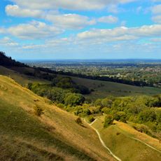
Ditchling Beacon, Hill peak in South Downs, England
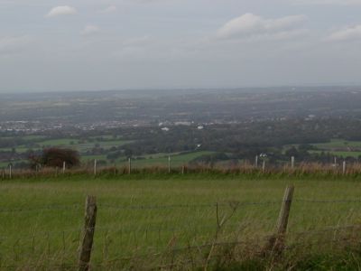
Ditchling Beacon is the highest point in East Sussex with steep northern slopes and open grassland areas. The terrain varies across the summit, creating different views as you walk around the hilltop.
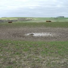
The site contains remains of an Iron Age fortification with defensive ramparts still visible on the northern and eastern sections. These defenses date from the era when early communities sought protection on this elevated position.
The steep road ascending the hill has become a testing ground for competitive cyclists over many years. Local riders and racing teams have made this climb part of their regular routes and training grounds.
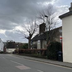
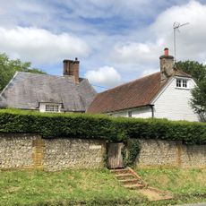
You can reach the summit via Beacon Road or several walking paths, with a National Trust car park available at the top. The various access options work well for visitors of different abilities and time constraints.
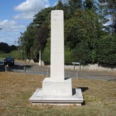
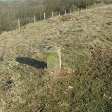
The location served as the origin meridian for Ordnance Survey mapping of the region and played a role in early surveying efforts. This connection to mapping history makes it an unexpected part of British surveying traditions.
The community of curious travelers
AroundUs brings together thousands of curated places, local tips, and hidden gems, enriched daily by 60,000 contributors worldwide.