Chest opened
+${chestReward.xp} XP
Explorer
NOUVEAU ×${chestReward.collectible.quantity}
tapez pour fermer
Chest locked

Open chests in the app

Around Us is built for your phone — chests unlock when you walk, explore and capture nearby places.

Enable Location

We need your location to show you interesting places around you

Discover nearby places

Find interesting locations and hidden gems around you

Precise directions

Get accurate directions and distances to places

Your location is never shared with other users. It's only used when you tap the location button.

Log in to your account

Start exploring — it's free

Trusted by 72,971 travelers worldwide

Continue with Google
Continue with Apple
or

We will send you a code to connect

By continuing, you accept our Terms and Conditions and our Privacy Policy

Check your inbox

We've sent a pincode in your inbox. Please enter the code below.

Discussion Reviews Photo
11.4k Popularity

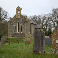
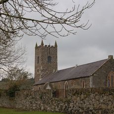
East Antrim, Electoral constituency in County Antrim, Northern Ireland

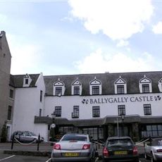
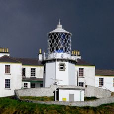
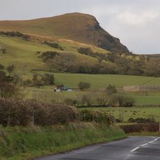
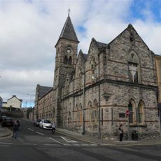
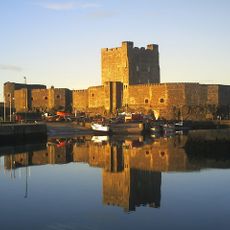
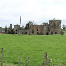
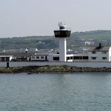
East Antrim is an electoral constituency in County Antrim, Northern Ireland, stretching along the eastern coast and covering multiple towns and communities. The region encompasses settlements ranging from small coastal villages to larger urban centers, connected by established transport infrastructure.

The constituency was created in 1983 when Northern Ireland reorganized its electoral boundaries and increased the number of parliamentary seats. This reorganization brought together parts of previously separate constituencies into a new unit.

The area maintains strong unionist traditions reflected in local elections, with Democratic Unionist Party and Ulster Unionist Party representatives frequently securing leadership positions.

The region is well connected by regular bus and rail services that link the various settlements and connect to Belfast. Visitors and residents can use these established transport options to move through the area.

East Antrim features a dual representation system, with seats in both the Northern Ireland Assembly and the United Kingdom House of Commons.

The community of curious travelers

AroundUs brings together thousands of curated places, local tips, and hidden gems, enriched daily by 60,000 contributors worldwide.

Start exploring
Location
GPS coordinates
54.84500,-5.81100
Latest update
December 8, 2025 13:41
Around this place
Ballygally Castle
United Kingdom

Ballygally Castle

6.8 km
Gobbins path
United Kingdom

Gobbins path

9.2 km
Taylors Avenue
United Kingdom

Taylors Avenue

14 km
Knockagh Monument
United Kingdom

Knockagh Monument

15.5 km
The Maidens lighthouses
United Kingdom

The Maidens lighthouses

10.8 km
Carnfunnock Country Park
United Kingdom

Carnfunnock Country Park

5.6 km
Blackhead Lighthouse
United Kingdom

Blackhead Lighthouse

11.7 km
Scawt Hill
United Kingdom

Scawt Hill

9.9 km
Chaine Memorial
United Kingdom

Chaine Memorial

1.3 km
Olderfleet Castle
United Kingdom

Olderfleet Castle

128 m
Waterloo Bay
United Kingdom

Waterloo Bay

1.4 km
Ballylumford Dolmen
United Kingdom

Ballylumford Dolmen

2.4 km
Papa Browns
United Kingdom

Papa Browns

14.6 km
Carrickfergus Borough Council Town Hall Joymount Carrickfergus Co. Antrim Bt38 7dl
United Kingdom

Carrickfergus Borough Council Town Hall Joymount Carrickfergus Co. Antrim Bt38 7dl

14.4 km
Ballyclare Town Hall
United Kingdom

Ballyclare Town Hall

16 km
Town Hall Upper Cross Street Larne Co Antrim Bt40 1sz
United Kingdom

Town Hall Upper Cross Street Larne Co Antrim Bt40 1sz

1 km
Carrickfergus Castle
United Kingdom

Carrickfergus Castle

14.7 km
Whitehead Railway Museum
United Kingdom

Whitehead Railway Museum

11.7 km
Kilwaughter Castle
United Kingdom

Kilwaughter Castle

5.1 km
Ferris Point Lighthouse
United Kingdom

Ferris Point Lighthouse

1.5 km
Raloo Church Of Ireland Parish Church Glenoe Larne Co Antrim
United Kingdom

Raloo Church Of Ireland Parish Church Glenoe Larne Co Antrim

5.3 km
Andrew Jackson Cottage & US Rangers Museum
United Kingdom

Andrew Jackson Cottage & US Rangers Museum

13.7 km
Larne Museum & Art Centre
United Kingdom

Larne Museum & Art Centre

1.1 km
Christ Church Church Road Ballynure Co Antrim Bt39 9aj
United Kingdom

Christ Church Church Road Ballynure Co Antrim Bt39 9aj

12.2 km
St Johnís C. Of I. Church Low Road Ballyharry Islandmagee Larne Co Antrim
United Kingdom

St Johnís C. Of I. Church Low Road Ballyharry Islandmagee Larne Co Antrim

6.9 km
St Cedmaís C Of I Church Inver Road Larne Co Antrim
United Kingdom

St Cedmaís C Of I Church Inver Road Larne Co Antrim

1.1 km
Former Lighthouse Keepers Houses At Blackhead Lighthouse Mccrea's Brae Whitehead Co Antrim Bt38 9nz
United Kingdom

Former Lighthouse Keepers Houses At Blackhead Lighthouse Mccrea's Brae Whitehead Co Antrim Bt38 9nz

11.7 km
St Nicholas' Church, Carrickfergus
United Kingdom

St Nicholas' Church, Carrickfergus

14.5 km
Show the full map
Reviews
Share your experience

No review yet

Discussions
Start a discussion...

No discussion yet

« East Antrim - Electoral constituency in County Antrim, Northern Ireland » is provided by Around Us (aroundus.com). Images and texts are derived from Wikimedia project under a Creative Commons license. You are allowed to copy, distribute, and modify copies of this page, under the conditions set by the license, as long as this note is clearly visible.

Discover hidden gems everywhere you go!

From secret cafés to breathtaking viewpoints, skip the crowded tourist spots and find places that match your style. Our app makes it easy with voice search, smart filtering, route optimization, and insider tips from travelers worldwide. Download now for the complete mobile experience.

Around Us App Screenshot

A unique approach to discovering new places

Le Figaro

All the places worth exploring

France Info

A tailor-made excursion in just a few clicks

20 Minutes

Around Us
Travel Guide & Maps
Download

Send to your phone

QR Code
1

Open the camera app on your mobile.

2

Point at the QR code with your camera. A notification will appear.

3

Tap the notification to open the link.