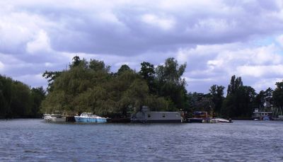
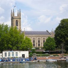
Garrick's Eyot, River island in Thames, England.
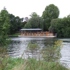
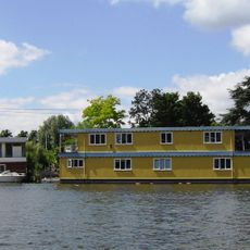
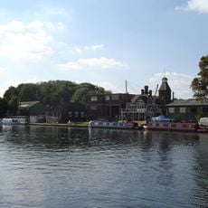
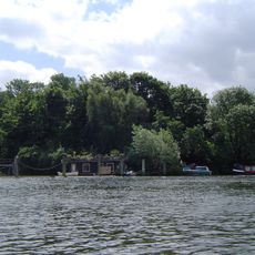
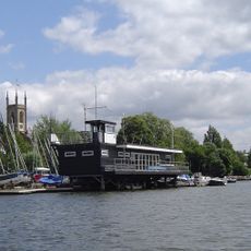
Garrick's Eyot is a small inhabited island in the River Thames located upstream from Tagg's Island, with around 20 houses built on it. The island forms its own residential community set within the river, with limited space and direct water access for its residents.
In the 18th century, the island was a center for willow cultivation, where trees were grown for making tools and sports equipment. This agricultural use shaped the island long before it became a residential community.
The island takes its name from actor David Garrick, linking the place to British theater history through its geographical association. Though this theatrical connection is no longer visible in the landscape, it reflects how the Thames and its islands were once intertwined with London's cultural world.
The island can only be reached by water, as there is no bridge or fixed connection to the mainland. Visitors need to plan for this water-based access and adjust their expectations accordingly.
The willow trees on the island were known for their strong, flexible branches that workers processed into woven goods and construction materials. This specialized vegetation made the island an important production site for regional markets.
The community of curious travelers
AroundUs brings together thousands of curated places, local tips, and hidden gems, enriched daily by 60,000 contributors worldwide.