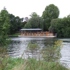
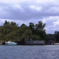
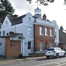
Platt's Eyot, River island in Hampton, Richmond upon Thames, United Kingdom
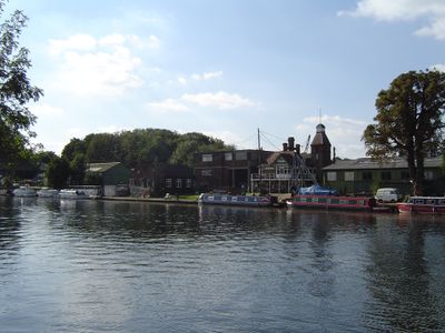
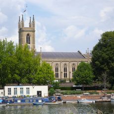
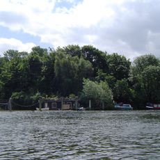
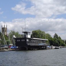
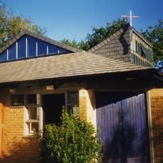
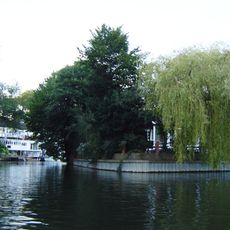
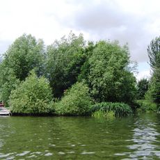
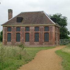
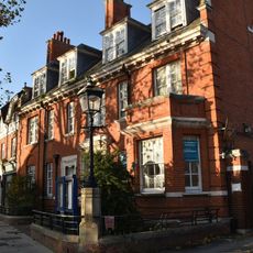
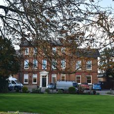
Platt's Eyot is a river island in the Thames near Hampton, featuring dense woodland on its western side and steep riverbanks, while the eastern portion contains industrial buildings and dock structures. The entire island sits surrounded by water and presents a contrast between natural forest areas and historic workshop buildings.
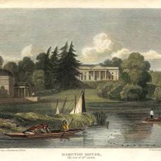
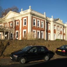
The island was originally known for willow cultivation before transforming into a shipbuilding site in the early 20th century. The works specialized in military vessels during both World Wars and later became known for producing cabin cruisers and speedboats.
The transformation from osier cultivation to boat manufacturing reflects the industrial evolution of Thames islands during the Victorian period.
The island is reached by a narrow footbridge from the Hampton bank, which is too narrow for vehicles and limits access to pedestrians only. Visitors should plan on entering on foot and wear suitable shoes since the riverbank areas may be wet or muddy.
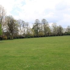
The elevated western portion of the island contains soil deposits that came from excavation work during construction of nearby Middlesex filter beds. This geological detail reveals how neighboring infrastructure projects inadvertently reshaped the island's landscape.
The community of curious travelers
AroundUs brings together thousands of curated places, local tips, and hidden gems, enriched daily by 60,000 contributors worldwide.