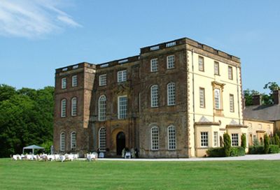
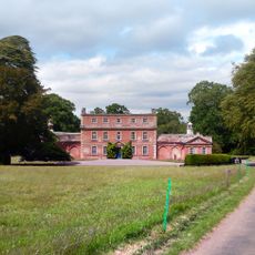
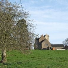
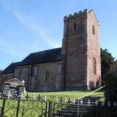
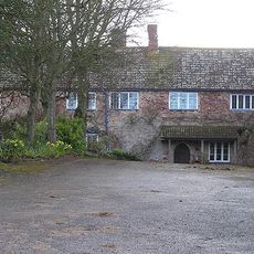
Halswell House, Grade I listed country house in Goathurst, England.
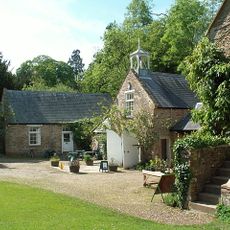
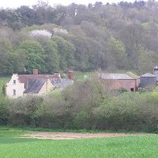
Halswell House is an English country house with sections spanning from the 16th century, with a grand north wing completed in 1689 built from Ham Hill stone. The property stands within more than 27 hectares of grounds featuring garden paths, outbuildings, and water features designed as part of the landscape layout.
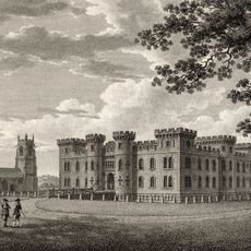
The manor appears in the Domesday Book of 1086 and passed through several noble families before developing into its present form. Major expansion occurred at the end of the 17th century when the north wing was built in the baroque style and the grounds were redesigned.
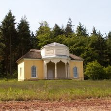
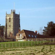
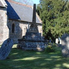
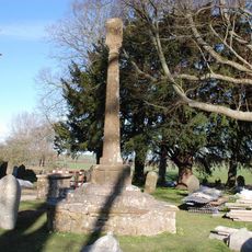
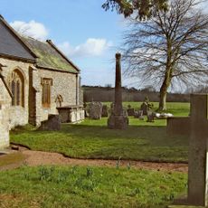
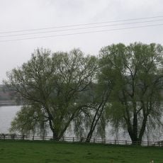
The landscaped grounds display ornamental water features and garden structures from the 18th century that reflect how the wealthy landowners shaped their estates. Walking through these areas shows how the property was designed to create separate zones for both family life and entertaining guests.
The property sits in a rural location and visitors should be aware it is an active historical site requiring respectful exploration. Garden paths can become muddy in wet weather, so sturdy footwear is recommended when walking the grounds.
The house served as a recording studio in 2006 for sections of an album by British rock band Radiohead, giving the site an unexpected contemporary connection. This episode shows how the property remained relevant beyond its role as a historic manor.
The community of curious travelers
AroundUs brings together thousands of curated places, local tips, and hidden gems, enriched daily by 60,000 contributors worldwide.