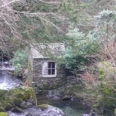
High Pike, Mountain summit in Lake District, England
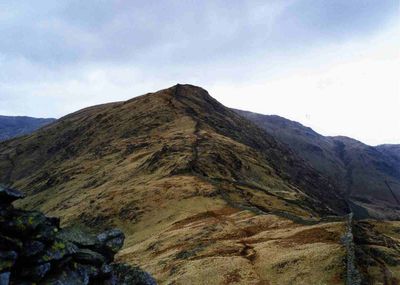
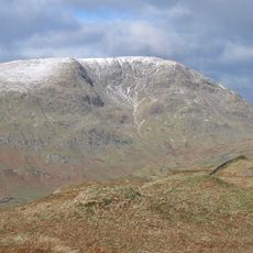
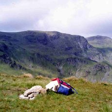
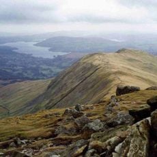
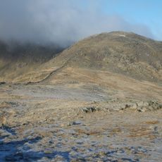
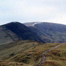
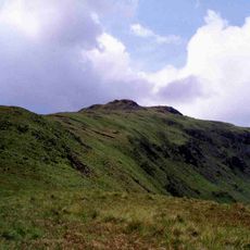
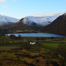
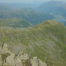
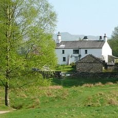
High Pike rises to 658 meters above sea level in the Northern Fells region, featuring a substantial cairn marking its highest point and offering expansive views across the surrounding Lake District landscape.
The summit has served as a navigational landmark for centuries, with its name derived from Old English terms denoting a pointed hill, and has been used as a reference point for Ordnance Survey triangulation measurements since the 19th century.
High Pike holds significance for outdoor enthusiasts as it appears on multiple hill classification lists including Wainwrights, Hewitts, Nuttalls, and Birketts, making it a popular destination for hikers completing these challenging collections.
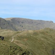
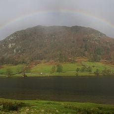
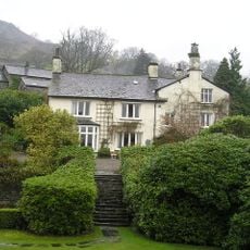
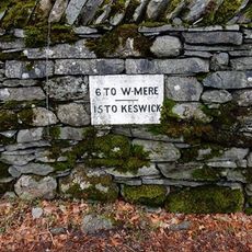
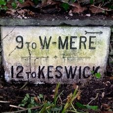
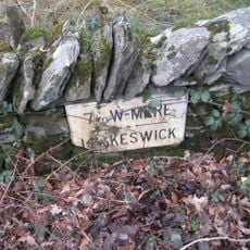
Visitors can access High Pike via well-defined walking routes starting from nearby villages, with detailed navigation available through Landranger Map 90 and Explorer Map OL5N, requiring proper waterproof clothing and sturdy footwear due to rapidly changing weather conditions.
The summit features both a substantial cairn at its highest point and a separate trig point located eight meters to the north at a slightly lower elevation, creating an unusual dual-marker system for navigation and measurement purposes.
The community of curious travelers
AroundUs brings together thousands of curated places, local tips, and hidden gems, enriched daily by 60,000 contributors worldwide.