Chest opened
+${chestReward.xp} XP
Explorer
NOUVEAU ×${chestReward.collectible.quantity}
tapez pour fermer

See the monuments around you in AR Open chests in the app

Around Us is built for your phone — point your camera at the streets and discover the monuments and places around you in augmented reality. Around Us is built for your phone — chests unlock when you walk, explore and capture nearby places.

Enable Location

We need your location to show you interesting places around you

Discover nearby places

Find interesting locations and hidden gems around you

Precise directions

Get accurate directions and distances to places

Your location is never shared with other users. It's only used when you tap the location button.

HMS G11

Log in to your account

Start exploring — it's free

Trusted by 84,898 travelers worldwide

Continue with Google
Continue with Apple
or

We will send you a code to connect

By continuing, you accept our Terms and Conditions and our Privacy Policy

Check your inbox

We've sent a pincode in your inbox. Please enter the code below.

HMS G11
Discussion Reviews 1 Photos
2k Popularity

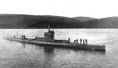
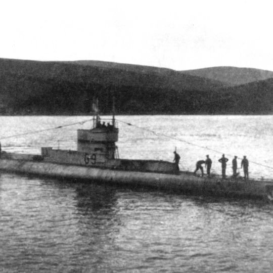
HMS G11, British Royal Navy submarine wreck near Northumberland coast, United Kingdom

The HMS G11 submarine rests at coordinates 55.452°N, -1.589°E in British waters, representing early 20th-century naval engineering developments of the Royal Navy.

This G-class submarine participated in naval operations during World War I before becoming one of numerous military vessels that met their fate in British waters.

The submarine stands as a reminder of British naval dominance, contributing to the development of underwater warfare strategies still studied in military institutions.

Maritime archaeologists and research teams need special permits from British authorities to explore this restricted underwater site containing military remains.

The wreck contains preserved elements of early submarine technology, including specific engineering features that influenced future Royal Navy submarine designs.

The community of curious travelers

AroundUs brings together thousands of curated places, local tips, and hidden gems, enriched daily by 60,000 contributors worldwide.
Start exploring
GPS coordinates
55.45200,-1.58900
Latest update
August 31, 2026 11:27
Around this place
Dunstanburgh Castle
United Kingdom

Dunstanburgh Castle

2.5 mi
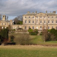
Howick Hall
United Kingdom

Howick Hall

0.8 mi
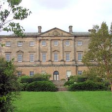
Howick house
United Kingdom

Howick house

0.2 mi
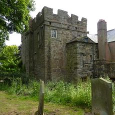
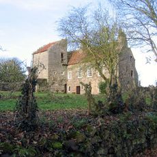
Craster Tower
United Kingdom

Craster Tower

1.3 mi
Embleton Tower
United Kingdom

Embleton Tower

3.5 mi
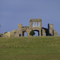
The Observatory
United Kingdom

The Observatory

3 mi
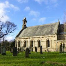
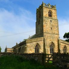
Church of St Michael and All Angels
United Kingdom

Church of St Michael and All Angels

0.8 mi
Church of the Holy Trinity, Embleton
United Kingdom

Church of the Holy Trinity, Embleton

3.5 mi
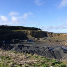
Longhoughton Quarry
United Kingdom

Longhoughton Quarry

2.4 mi
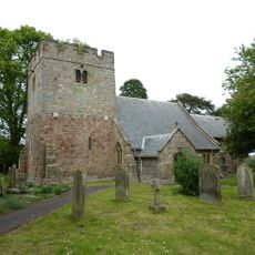
Church of Saints Peter and Paul
United Kingdom

Church of Saints Peter and Paul

1.9 mi
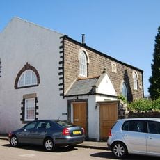
Embleton United Reformed Church
United Kingdom

Embleton United Reformed Church

3.6 mi
St Peter the Fisherman
United Kingdom

St Peter the Fisherman

1.4 mi
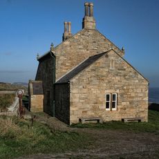
Outbuilding South West Of The Bathing House
United Kingdom

Outbuilding South West Of The Bathing House

0.1 mi
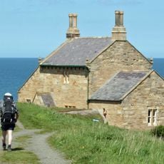
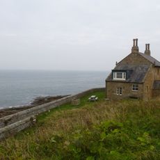
The Bathing House
United Kingdom

The Bathing House

500 ft
Defended settlement, 600m south east of Red Stead
United Kingdom

Defended settlement, 600m south east of Red Stead

0.9 mi
Dunstan Hall
United Kingdom

Dunstan Hall

1.7 mi
Wall And Steps To East Of The Bathing House
United Kingdom

Wall And Steps To East Of The Bathing House

410 ft
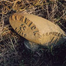
Mile Post 400 Metres South Of Renington South East Farm
United Kingdom

Mile Post 400 Metres South Of Renington South East Farm

3 mi
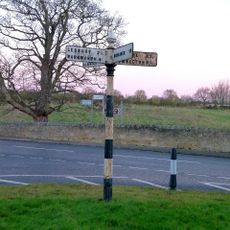
Signpost At Juntion With Station Road
United Kingdom

Signpost At Juntion With Station Road

2 mi
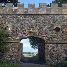
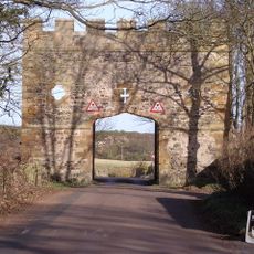
Gateway Spanning Road To North Of Craster Tower
United Kingdom

Gateway Spanning Road To North Of Craster Tower

1.4 mi
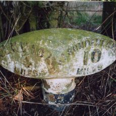
Milepost 300 Metres North Of Denwick Lane End
United Kingdom

Milepost 300 Metres North Of Denwick Lane End

3.2 mi
Stableyard Buildings At East End Of Howick Hall
United Kingdom

Stableyard Buildings At East End Of Howick Hall

0.8 mi
Road Bridge And Footbridge 320 Metres South East Of Howick Hall
United Kingdom

Road Bridge And Footbridge 320 Metres South East Of Howick Hall

0.7 mi
Garden Wall To West Of Boulmer Hall
United Kingdom

Garden Wall To West Of Boulmer Hall

2 mi
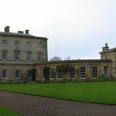
Howick Hall Centre Block And Link Galleries
United Kingdom

Howick Hall Centre Block And Link Galleries

0.8 mi
Howick Hall West Wing
United Kingdom

Howick Hall West Wing

0.8 mi
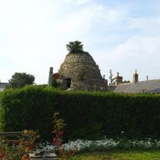
Dovecote at rear of Number 4
United Kingdom

Dovecote at rear of Number 4

3.4 mi
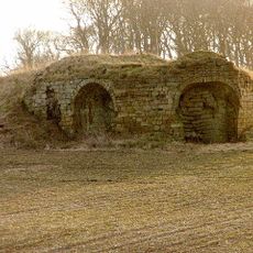
Old Limekiln At Harlaw Hill Waste Disposal Site
United Kingdom

Old Limekiln At Harlaw Hill Waste Disposal Site

2.9 mi
Show the full map
Reviews
Share your experience

No review yet

Discussions
Start a discussion...

No discussion yet

« HMS G11 - British Royal Navy submarine wreck near Northumberland coast, United Kingdom » is provided by Around Us (aroundus.com). Images and texts are derived from Wikimedia project under a Creative Commons license. You are allowed to copy, distribute, and modify copies of this page, under the conditions set by the license, as long as this note is clearly visible.

Discover hidden gems everywhere you go!

From secret cafés to breathtaking viewpoints, skip the crowded tourist spots and find places that match your style. Our app makes it easy with voice search, smart filtering, route optimization, and insider tips from travelers worldwide. Download now for the complete mobile experience.
Around Us App Screenshot

A unique approach to discovering new places

Le Figaro

All the places worth exploring

France Info

A tailor-made excursion in just a few clicks

20 Minutes

Around Us
Travel Guide & Maps
Download

Send to your phone

QR Code
1

Open the camera app on your mobile.

2

Point at the QR code with your camera. A notification will appear.

3

Tap the notification to open the link.