Somerset Levels, Wetland and coastal plain in Somerset, United Kingdom.
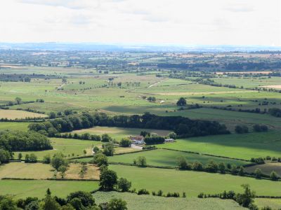
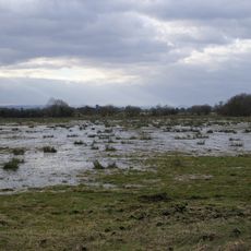
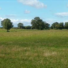
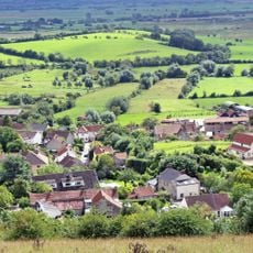
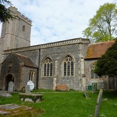
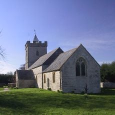
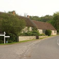
This coastal plain stretches across Somerset, covering flat marshlands of marine clay and higher peat moorlands separated by a central ridge of hills. The area forms a mosaic of drainage channels, meadows, and seasonal water surfaces that shift dramatically with the seasons.
People began building wooden walkways and structures here around 6,000 years ago to cross and use the wetlands. Over the centuries, the moors were gradually drained and converted into agricultural land.
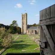
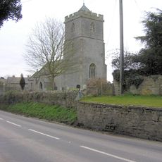
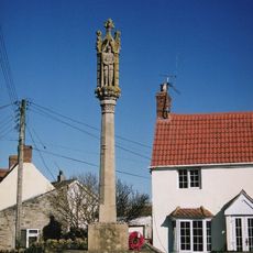
Multiple Saxon charters document the gradual incorporation of moorland into established estates, shaping the land management practices of medieval communities.
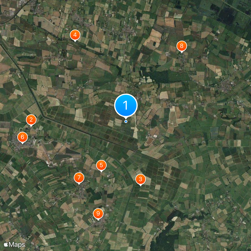
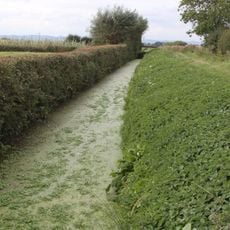
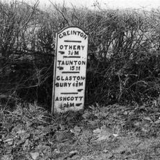
The wetland is accessible year-round, with water levels highest in winter and birdwatching particularly rewarding then. Several marked walking routes cross the area and make orientation straightforward.
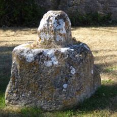
Archaeologists discovered a notable collection of Roman silver coins here, buried in a single container and likely hidden during a political crisis. The find near Shapwick shows how important this plain was even in ancient times.
The community of curious travelers
AroundUs brings together thousands of curated places, local tips, and hidden gems, enriched daily by 60,000 contributors worldwide.