
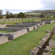
Milecastle 26, Roman fortlet on Hadrian's Wall, Northumberland, England.
The stone structure of Milecastle 26 spans 19 meters by 15.5 meters with thick defensive walls positioned along the northern frontier of Roman Britain.
During the second century, Roman soldiers constructed this fortification as part of Emperor Hadrian's defensive network, incorporating a Type II gateway design.
Archaeological excavations at Milecastle 26 revealed evidence of soldiers' daily activities through discovered cooking facilities and storage areas within the fortification.
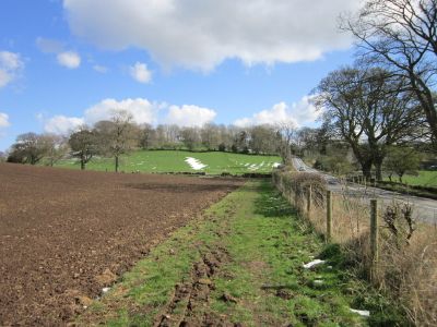
The Hadrian's Wall Path leads directly to Milecastle 26, with information panels explaining the structure's military function within the Roman defensive system.
The milecastle's position allowed its garrison to monitor both sides of the wall while controlling movement through its gates at precisely measured intervals.
Location: Northumberland
Part of: Hadrian's Wall
GPS coordinates: 55.02046,-2.10967
Latest update: March 9, 2025 11:53
Chesters Roman Fort
2 km
Chesters Bridge
1.8 km
Chesters
2.3 km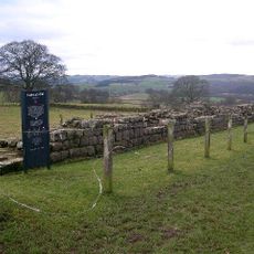
Planetrees
189 m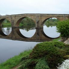
Chollerford Bridge
1.5 km
Walwick Grange
2.4 km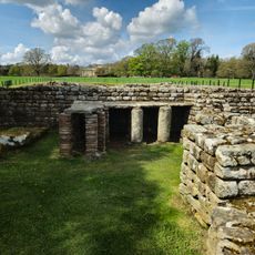
Chesters Roman Fort
2 km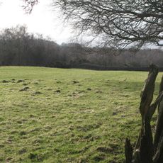
Milecastle 25
1.5 km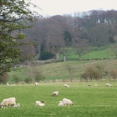
Milecastle 27
1.5 km
Church of St Oswald
609 m
Church of St George
1.4 km
Church of St Peter
2.1 km
Church of St Giles
2.4 km
The George Inn
1.6 km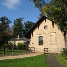
Clayton Museum
2.1 km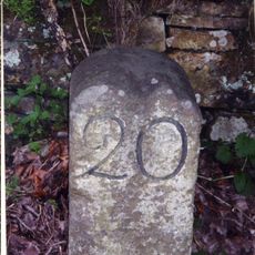
Milestone 230 Metres East Of High Brunton
272 m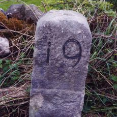
Milestone 420 Metres East Of St Oswalds Hill Head Farm
1.3 km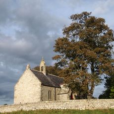
Churchyard Wall To Church Of St Oswald
652 m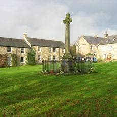
Wall War Memorial
1.5 km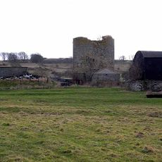
Cocklaw Tower
1.8 km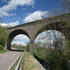
Railway Bridge 300 Yards South Of Chollerton
2 km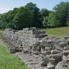
Hadrian's Wall and vallum between St Oswald's Cottages, east of Brunton Gate and the North Tyne in wall miles 25, 26 and 27
725 m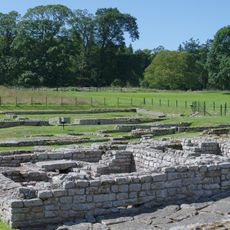
The Roman fort, vicus, bridge abutments and associated remains of Hadrian's Wall at Chesters in wall mile 27
2.2 km
Medieval wayside cross, 780m SSE of Walwick Grange
2.3 km
Stable Block 200 Metres North Of Chesters
2.4 km
Milestone 360 Metres North Of B6318 Junction
1.1 km
Garden Wall To West End Terrace And Evans Almshouse, With Attached Pant
2.3 km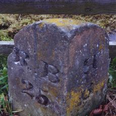
Milestone, S edge of Chollerton
2 kmReviews
Visited this place? Tap the stars to rate it and share your experience / photos with the community! Try now! You can cancel it anytime.
Discover hidden gems everywhere you go!
From secret cafés to breathtaking viewpoints, skip the crowded tourist spots and find places that match your style. Our app makes it easy with voice search, smart filtering, route optimization, and insider tips from travelers worldwide. Download now for the complete mobile experience.

A unique approach to discovering new places❞
— Le Figaro
All the places worth exploring❞
— France Info
A tailor-made excursion in just a few clicks❞
— 20 Minutes