
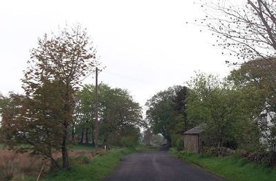
Milecastle 52, Roman fortification at Bankshead, England
The stone walls of Milecastle 52 extend 27.5 meters from east to west and 23.4 meters from north to south along Hadrian's Wall.
Archaeological excavations in 1934 revealed Type III gateways and evidence of an earlier structure known as Milecastle 52TW on the Turf Wall.
Two altars dedicated to the deity Cocidius were found at the site in 1808, including one inscribed by soldiers of the Twentieth Legion.
The milecastle site, currently beneath Bankshead House and garden, lies 1484 meters west of Milecastle 51 and 1520 meters east of Milecastle 53.
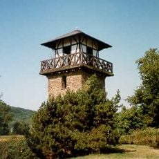
Pike Hill Signal Tower, located 170 meters east of the associated Turret 52A, predated Hadrian's Wall, which was later constructed around it.
Part of: Hadrian's Wall
GPS coordinates: 54.97697,-2.65857
Latest update: March 5, 2025 15:01
Borders of the Roman Empire
4.1 km
Naworth Castle
3 km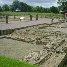
Banna
3.8 km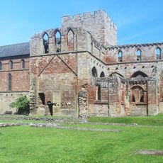
Lanercost Priory
2.6 km
Hadrian's Wall
3.9 km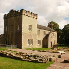
Birdoswald
3.8 km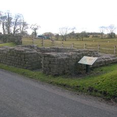
Leahill Turret
484 m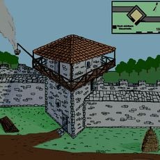
Pike Hill Signal Tower
301 m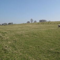
Milecastle 50
2.9 km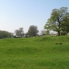
Milecastle 51
1.5 km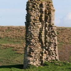
Triermain Castle
2.4 km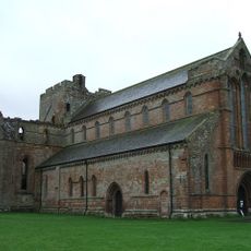
St Mary Magdalene
2.6 km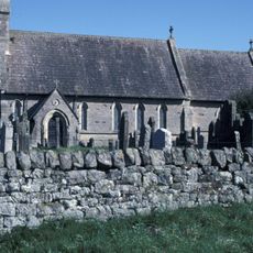
Church of St Cuthbert
1.6 km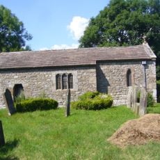
St Cuthbert's church, Upper Denton
3.7 km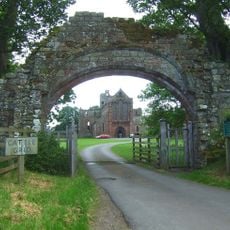
Gateway Arch West of Lanercost Priory
2.8 km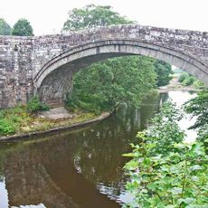
Lanercost Bridge
3 km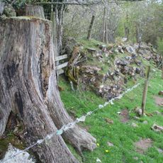
Hadrian's Wall and vallum between Banks Green Cottage and the road to Lanercost at Banks and the road to Garthside in wall miles 52, 53 and 54
2.6 km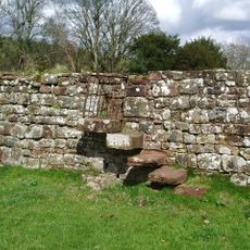
Walls to the North of Lanercost Priory
2.6 km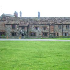
The Vicarage
2.7 km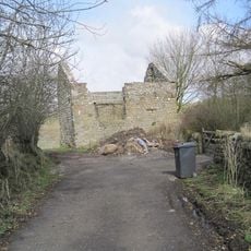
Bastle at Upper Denton
3.7 km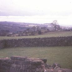
Hadrian's Wall and vallum between the field boundary west of Coombe Crag and Banks Green Cottage and the road to Lanercost at Banks in wall miles 51 and 52
97 m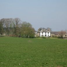
Northrigghill
607 m
Milestone West Of At Temon Bridge At Ngr Ny 6080 63660
3.4 km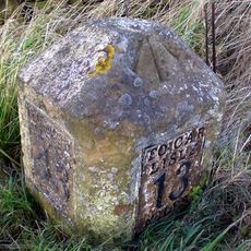
Milestone At Ngr Ny58130 62460
2.4 km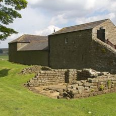
Farmbuildings Situated 30 Metres North North West Of Birdoswald Farmhouse Or Tenement
3.8 km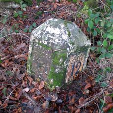
Milestone At Ngr Ny 56690 61990
3.2 km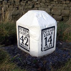
Milestone East Of Low Row At Ngr Ny 59580 63080
2.4 km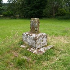
Cross Base North West of Lanercost Priory
2.6 kmReviews
Visited this place? Tap the stars to rate it and share your experience / photos with the community! Try now! You can cancel it anytime.
Discover hidden gems everywhere you go!
From secret cafés to breathtaking viewpoints, skip the crowded tourist spots and find places that match your style. Our app makes it easy with voice search, smart filtering, route optimization, and insider tips from travelers worldwide. Download now for the complete mobile experience.

A unique approach to discovering new places❞
— Le Figaro
All the places worth exploring❞
— France Info
A tailor-made excursion in just a few clicks❞
— 20 Minutes