Moorfoot Hills, Hill chain in Scottish Borders, Great Britain
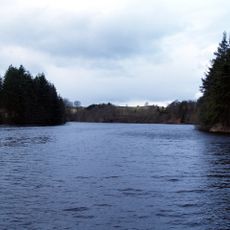
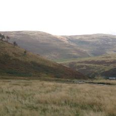
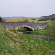
The Moorfoot Hills are a chain of rolling upland terrain in the Scottish Borders, stretching from Peebles toward Tynehead near the A7 road. The ground shifts between open moorland, heathland, and patches of deciduous woodland, with Windlestraw Law as the highest point at around 659 meters.
The name Moorfoot appears in records from 1142 and comes from Norse roots that likely referred to a clearing or meadow at the edge of the moor. This early record shows the hills were already named and used by people for nearly a thousand years.
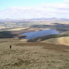
The Moorfoot Hills are a popular walking area where people follow well-worn paths across open moorland. The trails link nearby villages, and the hills feel like a shared outdoor space that locals return to through the seasons.
Marked trails and parking areas are available at several access points around the hills, making it easy to plan a day out without much preparation. Weather can shift quickly at this elevation, so waterproof layers and sturdy footwear are worth bringing along.
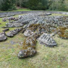
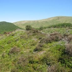
The Moorfoot Hills sit within a protected area covering over 8,500 hectares of bogs, heathland, and deciduous woodland, which is an unusually varied mix for a single upland site. This range of habitats supports plant and animal species that are rarely found together in one place this far north.
The community of curious travelers
AroundUs brings together thousands of curated places, local tips, and hidden gems, enriched daily by 60,000 contributors worldwide.