
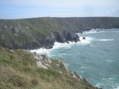
Kynance Cove
3.2 km
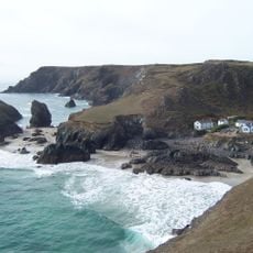
Asparagus Island
3.1 km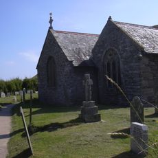
Church of Saint Winwaloe, Gunwalloe
4.7 km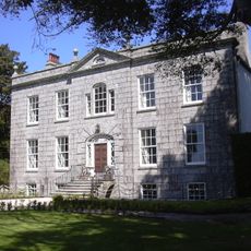
Bonython Manor
5 km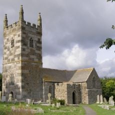
St Wynwallow's Church, Landewednack
5.5 km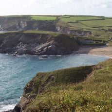
Baulk Head to Mullion
4.2 km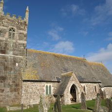
St Grada and Holy Cross Church, Grade
4.8 km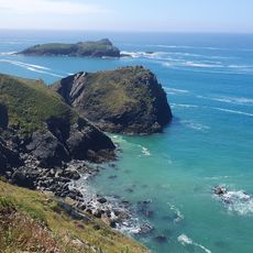
Polurrian Beach
2.9 km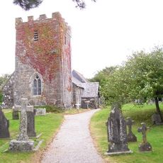
Church of St Rumon, Ruan Minor
5.5 km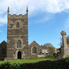
Church of St Melaines
3.6 km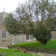
Church of St Rumon
3.8 km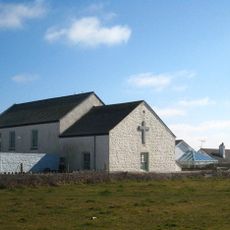
Methodist Chapel
5.2 km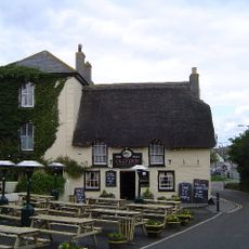
The Old Inn
3.6 km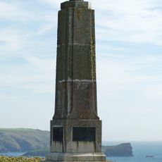
Marconi Memorial
3.6 km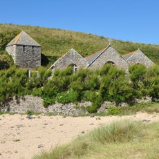
Tower At South West Of Church Of Saint Winwaloe
4.7 km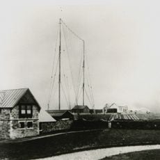
The Marconi Centre
3.7 km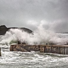
Harbour Walls
2 km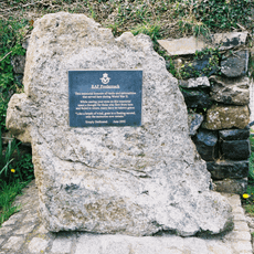
RAF Predannack WWII Memorial
3 km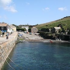
Winch House
2 km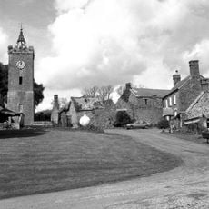
Clocktower, Coach Houses And Stabling At Approx 25M South-West Of Manor House
5.5 km
Wayside cross in Gunwalloe churchyard, 0.75m east of the church
4.7 km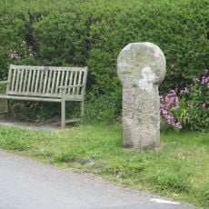
Medieval wayside cross at Tregaminion
5.2 km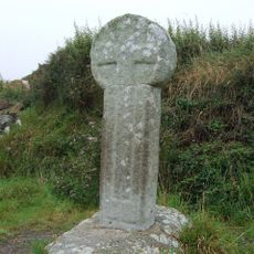
Wayside cross 240m north west of Higher Predannack Farm
1.3 km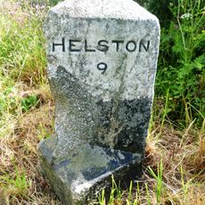
Milestone, Little Trethvas Farm, on straight, N of filling station
3.6 km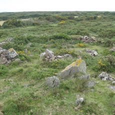
Stone hut circle settlement with irregular aggregate field system at Kynance Gate, 935m south east of Kynance Farm
2.8 km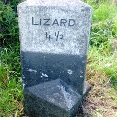
Milestone, Goonhilly Downs, on bend
4.8 km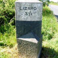
Milestone, Penhale, just S of bend and T jct
3.8 km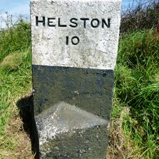
Milestone, by road jct, N of "Lizard" sign
5 kmReviews
Visited this place? Tap the stars to rate it and share your experience / photos with the community! Try now! You can cancel it anytime.
Discover hidden gems everywhere you go!
From secret cafés to breathtaking viewpoints, skip the crowded tourist spots and find places that match your style. Our app makes it easy with voice search, smart filtering, route optimization, and insider tips from travelers worldwide. Download now for the complete mobile experience.

A unique approach to discovering new places❞
— Le Figaro
All the places worth exploring❞
— France Info
A tailor-made excursion in just a few clicks❞
— 20 Minutes