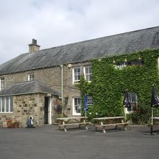
Otterburn Hall, Historic hotel in Otterburn, England
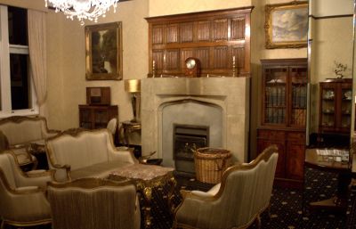
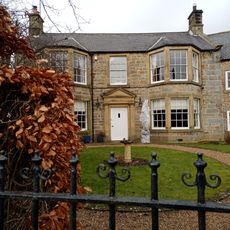
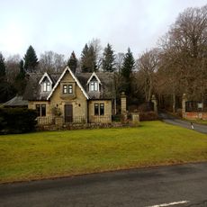
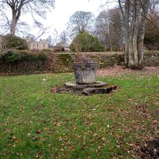
Otterburn Hall is a Neo-Elizabethan mansion set within a large deer park surrounded by woodlands and designated as a Grade II listed building. The structure combines classical stonework with the distinctive Victorian style characteristic of its era.
The hall was built in the 1870s after the estate was granted to the Douglas family as compensation for a medieval military loss. During World War II, the building served as a military hospital for several years, treating wounded soldiers.
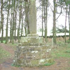
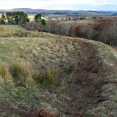
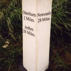
The place takes its name from a medieval battle fought in this area, an event that shaped local identity and memory. Visitors can sense this connection to the past through the landscape and the older structures that still dot the region today.
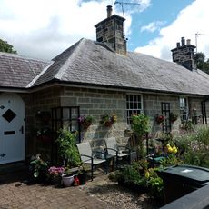
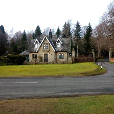
The building sits in a rural setting with extensive grounds and is visible from outside, though visitors should note it is now private property. The best time to explore the exterior and surroundings is during daylight hours, when you can fully appreciate the architectural details and the landscape.
In the 1930s, the property featured its own landing ground, making it one of few grand estates with such infrastructure. This airfield was used for many years before the operation eventually ceased.
Location: Otterburn
GPS coordinates: 55.24306,-2.18444
Latest update: December 10, 2025 20:07
Elsdon Castle
5.4 km
Otterburn Mill
1.4 km
Elsdon Tower
5.3 km
Percy Cross
935 m
St Cuthbert's Church, Elsdon
5.4 km
St John the Evangelist's Church, Otterburn
1.2 km
Church of St Cuthbert
5.1 km
Church of the Holy Trinity
5.1 km
Milestone South West Of Church Of The Holy Trinity At Ngr 842971
4.9 km
The Redesdale Arms
4.6 km
Milestone, East Otterburn
1.6 km
Rochester War Memorial
6.1 km
Fountain Base C.80 Yards South Of Otterburn Tower
1.3 km
Romano-British farmstead 330m west of Rattenraw Farm
3.7 km
Tenters C.40 Yards South-East Of Otterburn Mill
1.7 km
Milestone C.1/2 Mile West-North-West Of Otterburn
1 km
Milestone South Of Shittleheugh Bridge At Ngr 869943
2.1 km
4 And 5, Bank Foot
1.5 km
The Vicarage
1.3 km
Gate And Gateway By South Lodge To Otterburn Hall
237 m
Milestone Circa A Quarter Of A Mile West Of Raylees
4.6 km
Bleach House Circa 20 Yards South East Of Otterburn Mills
1.6 km
South Lodge to Otterburn Hall
230 m
Medieval wayside cross, 200m NNW of Brownrigg
2.7 km
Milestone By Bennetsfield Farm
3.4 km
Sundial C.50 Yards South-East Of Otterburn Tower
1.3 km
Gatepiers, Garden Walls, Railings And Sundial, Circa 30 Yards South Of Overacres
2.8 km
Milestone, Raylees
5.8 kmVisited this place? Tap the stars to rate it and share your experience / photos with the community! Try now! You can cancel it anytime.
Discover hidden gems everywhere you go!
From secret cafés to breathtaking viewpoints, skip the crowded tourist spots and find places that match your style. Our app makes it easy with voice search, smart filtering, route optimization, and insider tips from travelers worldwide. Download now for the complete mobile experience.
A unique approach to discovering new places❞
— Le Figaro
All the places worth exploring❞
— France Info
A tailor-made excursion in just a few clicks❞
— 20 Minutes