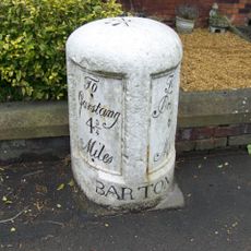
RAF Barton Hall, Military bunker and air base in Lancashire, England
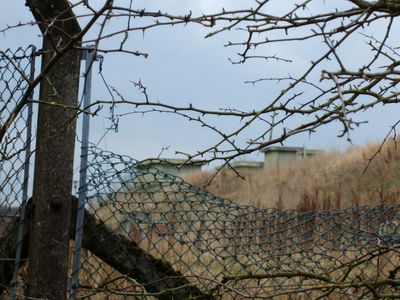
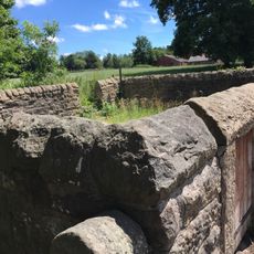
RAF Barton Hall is an underground military facility in Lancashire, England, situated between the villages of Barton and Broughton, made up of several separate bunker buildings. The site contains operations rooms, filter rooms, and communications centers, all built to keep functioning even under attack.
The Royal Air Force built this facility in 1940 to control and coordinate air operations for No. 9 Group RAF across northern England. After the war ended, it was kept in service as part of the country's Cold War air defense network.
RAF Barton Hall was staffed in large part by women of the Women's Auxiliary Air Force, who worked inside the underground rooms tracking and relaying aircraft positions. Their work was done in real time, under pressure, with no direct view of the sky above.
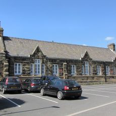
The site lies in a rural area between two villages and is hard to spot from the road since the structures are underground. It is worth checking access conditions before visiting, as entry may not always be open to the public.
After the Second World War, the bunker was adapted to serve as a backup control center for air defense warnings, with systems designed to send alerts directly to the public without manual intervention. This made it one of the links between military detection and the everyday civilian world in the event of an attack.
The community of curious travelers
AroundUs brings together thousands of curated places, local tips, and hidden gems, enriched daily by 60,000 contributors worldwide.