Enable Location

We need your location to show you interesting places around you

Discover nearby places

Find interesting locations and hidden gems around you

Precise directions

Get accurate directions and distances to places

Your location is never shared with other users. It's only used when you tap the location button.

Ward's Reservoir

Log in to your account

Start exploring — it's free

Trusted by 62,430 travelers worldwide

Continue with Google
Continue with Apple
or

We will send you a code to connect

By continuing, you accept our Terms and Conditions and our Privacy Policy

Check your inbox

We've sent a pincode in your inbox. Please enter the code below.

Ward's Reservoir

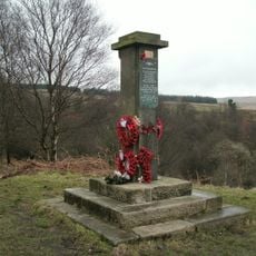
Ward's Reservoir, lake in the United Kingdom

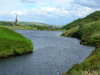
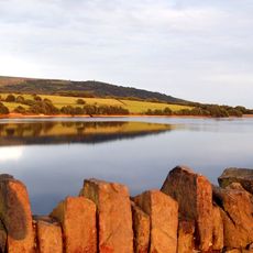
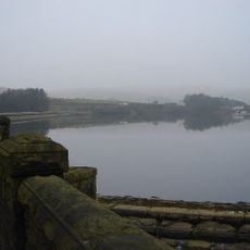
Ward's Reservoir is a small body of water situated in the West Pennine Moors near Belmont village in Lancashire. The water is only a few feet deep across most of the surface, but reaches approximately 80 feet at its deepest point and holds roughly 150,000 cubic meters when full.

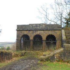
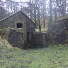
The reservoir was built in the early 1800s to supply water to the nearby Rycroft Works industrial site. In 1893, it was enlarged by Deacons company to provide water for Belmont Bleachworks, a textile processing factory.

Locals call this reservoir the Blue Lagoon, reflecting the bright blue color of the water. The site has shifted from its industrial past to become a place where people gather for peaceful walks and quiet moments in nature.

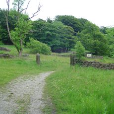
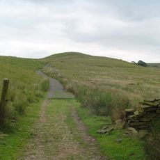
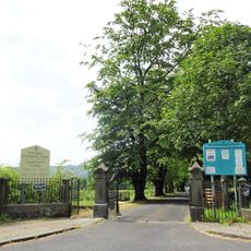
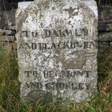
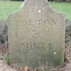
The site is accessible via simple country roads and footpaths that lead around the water and into the surrounding countryside. The gentle terrain and open space make it suitable for walks or outdoor recreation throughout the year.

The water displays a striking bright blue color in good light conditions, which inspired locals to call it the Blue Lagoon. This coloration results from the shallow, clear nature of the water combined with the surrounding landscape, giving the site a distinctive visual quality.

The community of curious travelers

AroundUs brings together thousands of curated places, local tips, and hidden gems, enriched daily by 60,000 contributors worldwide.

Start exploring
Location
GPS coordinates
53.63810,-2.50056
Latest update
February 9, 2026 08:19
Around this place
Rivington Pike
United Kingdom

Rivington Pike

3.4 km
Winter Hill
United Kingdom

Winter Hill

1.4 km
Rivington Hall
United Kingdom

Rivington Hall

3.9 km
Rivington Hall Barn
United Kingdom

Rivington Hall Barn

3.9 km
Hollinshead Hall
United Kingdom

Hollinshead Hall

4.2 km
Great Hill
United Kingdom

Great Hill

4 km
Round Loaf
United Kingdom

Round Loaf

4 km
Yarrow Reservoir
United Kingdom

Yarrow Reservoir

4.4 km
Christ Church, Walmsley
United Kingdom

Christ Church, Walmsley

4.4 km
Dean Mills Reservoir
United Kingdom

Dean Mills Reservoir

2.5 km
Church of St Peter
United Kingdom

Church of St Peter

334 m
Walmsley Unitarian Chapel
United Kingdom

Walmsley Unitarian Chapel

3.4 km
Two Archways And Associated Stone Staircases And Retaining Walls In Rivington Gardens At Sd 6390 1422
United Kingdom

Two Archways And Associated Stone Staircases And Retaining Walls In Rivington Gardens At Sd 6390 1422

3.5 km
Loggia, Summerhouse And Associated Staircases In Rivington Gardens At Sd 6392 1431
United Kingdom

Loggia, Summerhouse And Associated Staircases In Rivington Gardens At Sd 6392 1431

3.4 km
Lever Bridge, Staircases And A Summer House In Rivington Gardens At Sd 6384 1422
United Kingdom

Lever Bridge, Staircases And A Summer House In Rivington Gardens At Sd 6384 1422

3.6 km
Bryan Hey Farmhouse
United Kingdom

Bryan Hey Farmhouse

3.8 km
Wilcocks Farmhouse
United Kingdom

Wilcocks Farmhouse

3.8 km
Rivington Pike Tower At Sd 642 137
United Kingdom

Rivington Pike Tower At Sd 642 137

3.4 km
Pigeon Tower, Staircases, Stone Arches, Stone Screen And Two Gate Piers In Rivington Gardens At Sd 6397 1433
United Kingdom

Pigeon Tower, Staircases, Stone Arches, Stone Screen And Two Gate Piers In Rivington Gardens At Sd 6397 1433

3.4 km
Wellington Bomber Z8799 Crash site Memorial, Rivington
United Kingdom

Wellington Bomber Z8799 Crash site Memorial, Rivington

4.1 km
ERA W. Clemmet and Belmont War Memorial
United Kingdom

ERA W. Clemmet and Belmont War Memorial

360 m
Wishing Well In Corner Of Enclosure To Former Hollinshead Hall
United Kingdom

Wishing Well In Corner Of Enclosure To Former Hollinshead Hall

4.1 km
Moses Cocker's Farmhouse
United Kingdom

Moses Cocker's Farmhouse

3.3 km
Guidepost
United Kingdom

Guidepost

3 km
Milestone, Colliers Row Road - 200m W of the cross roads with Smithills Dean Road, Scout Road and Coal Pit Road
United Kingdom

Milestone, Colliers Row Road - 200m W of the cross roads with Smithills Dean Road, Scout Road and Coal Pit Road

3.7 km
Milestone, Piccadilly Cottages
United Kingdom

Milestone, Piccadilly Cottages

4.1 km
Milestone, Old Man's Hill
United Kingdom

Milestone, Old Man's Hill

2.4 km
Belmont Reservoir
United Kingdom

Belmont Reservoir

895 m
Show the full map
« Ward's Reservoir - lake in the United Kingdom » is provided by Around Us (aroundus.com). Images and texts are derived from Wikimedia project under a Creative Commons license. You are allowed to copy, distribute, and modify copies of this page, under the conditions set by the license, as long as this note is clearly visible.

Discover hidden gems everywhere you go!

From secret cafés to breathtaking viewpoints, skip the crowded tourist spots and find places that match your style. Our app makes it easy with voice search, smart filtering, route optimization, and insider tips from travelers worldwide. Download now for the complete mobile experience.

Around Us App Screenshot

A unique approach to discovering new places

Le Figaro

All the places worth exploring

France Info

A tailor-made excursion in just a few clicks

20 Minutes

Around Us
Travel Guide & Maps
Download

Send to your phone

QR Code
1

Open the camera app on your mobile.

2

Point at the QR code with your camera. A notification will appear.

3

Tap the notification to open the link.