Winter Hill, Mountain summit in North West England, Great Britain
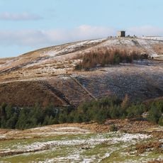
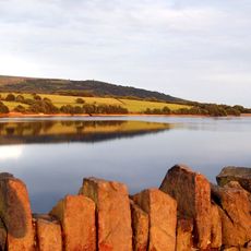
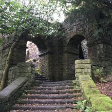
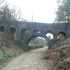
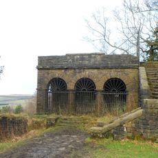
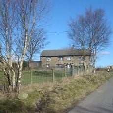
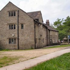
Winter Hill is a mountain summit in the West Pennine Moors of Lancashire, rising to approximately 456 meters in elevation. Several walking routes lead to the top from nearby villages and lower ground on different sides.
In 1896, around ten thousand people marched from Bolton across the land to demand public access rights to the countryside. This event helped establish the movement for open access to the natural landscape.
The summit marks a meeting point between several boroughs and serves as a connection between local communities. People from the surrounding areas gather here and use the location as a natural focal point.
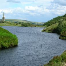
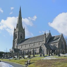
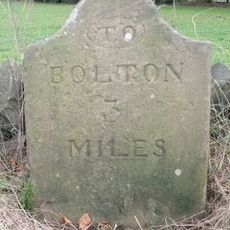
Visitors can walk to the summit from several starting points including Belmont, Rivington, and Horwich, with a shorter route available from a mountain pass near Belmont. Those with less time can use the road approach, which is easier to manage.
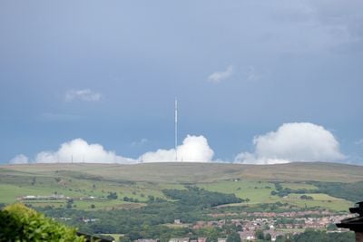
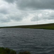
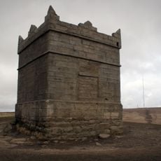
A television transmitter stands on the summit and broadcasts signals across North West England. Archaeological burial mounds from the Bronze Age sit nearby with important discoveries inside.
Location: North West England
GPS coordinates: 53.62982,-2.51590
Latest update: December 7, 2025 10:06
Rivington Pike
2 km
Rivington Hall
2.7 km
Rivington Hall Barn
2.7 km
Lower Rivington Reservoir
3.7 km
Holy Trinity Church, Horwich
3.7 km
Rivington Unitarian Chapel
3.3 km
Rivington Church
3.5 km
Yarrow Reservoir
3.5 km
Ward's Reservoir
1.4 km
Dean Mills Reservoir
2.4 km
Church of St Peter
1.6 km
Two Archways And Associated Stone Staircases And Retaining Walls In Rivington Gardens At Sd 6390 1422
2.2 km
Lever Bridge, Staircases And A Summer House In Rivington Gardens At Sd 6384 1422
2.3 km
Loggia, Summerhouse And Associated Staircases In Rivington Gardens At Sd 6392 1431
2.2 km
Wilcocks Farmhouse
2.8 km
Rivington Pike Tower At Sd 642 137
2 km
Wellington Bomber Z8799 Crash site Memorial, Rivington
3.4 km
Pigeon Tower, Staircases, Stone Arches, Stone Screen And Two Gate Piers In Rivington Gardens At Sd 6397 1433
2.1 km
Rivington Castle
3.7 km
ERA W. Clemmet and Belmont War Memorial
1.7 km
Bellhouse Circa 10 Metres West Of Church Of Holy Trinity
3.5 km
Fisher House
3.3 km
Mounting Block In School Yard Circa 15 Metres West Of Rivington School
3.5 km
Great House Farmhouse And Cottage
3.3 km
Moses Cocker's Farmhouse
2.2 km
Milestone, Colliers Row Road - 200m W of the cross roads with Smithills Dean Road, Scout Road and Coal Pit Road
3.6 km
Milestone, Old Man's Hill
3.4 km
Belmont Reservoir
2.2 kmReviews
Visited this place? Tap the stars to rate it and share your experience / photos with the community! Try now! You can cancel it anytime.
Discover hidden gems everywhere you go!
From secret cafés to breathtaking viewpoints, skip the crowded tourist spots and find places that match your style. Our app makes it easy with voice search, smart filtering, route optimization, and insider tips from travelers worldwide. Download now for the complete mobile experience.
A unique approach to discovering new places❞
— Le Figaro
All the places worth exploring❞
— France Info
A tailor-made excursion in just a few clicks❞
— 20 Minutes