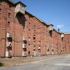
Sleaford Castle, Medieval castle ruins in Sleaford, England
Sleaford Castle is a ruined medieval castle in Sleaford, Lincolnshire, England, where the remains of the north-eastern corner tower and the moat can still be seen. The original structure had a roughly square plan with towers at each corner and a central keep.
The castle was built between 1123 and 1139 by Alexander de Blois, Bishop of Lincoln, and later became a royal residence used by several English kings. Over time it fell out of use and gradually fell into the state of ruin visible today.
The castle once belonged to the Bishop of Lincoln and served as both a residence and a centre for managing church lands across the region. Visitors can still see the remains of the moat that once separated the grounds from the town around it.
The site is open to the air with no shelter, so bring clothing suited to the weather whenever you visit. The ground is uneven in places and can get muddy after rain, so sturdy footwear is a good idea.
During excavations in 2023, archaeologists found a medieval floor tile with the imprint of a cat's paw pressed into it before the clay dried. This small detail shows that animals were present during the construction of the castle, leaving an unintended mark on its history.
The community of curious travelers
AroundUs brings together thousands of curated places, local tips, and hidden gems, enriched daily by 60,000 contributors worldwide.