St Helier, Residential district in South London, United Kingdom
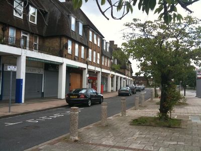
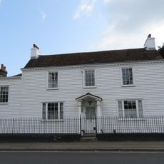
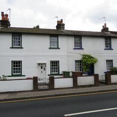
St Helier is a residential neighborhood spanning the London boroughs of Merton and Sutton, divided by Green Lane and Bishopsford Road. The area features rows of houses and single-family homes arranged in an organized grid pattern typical of planned estate development.
The neighborhood was developed between 1928 and 1936 by the London County Council as a housing program to relocate residents from London's crowded central areas. This ambitious project aimed to provide better living conditions for the city's growing population.
The street names follow a deliberate pattern based on British monasteries and abbeys, reflecting the area's former connection to Westminster Abbey. This naming choice still shows the historical roots embedded in the local landscape today.
The neighborhood is connected to central London through St Helier railway station on the Sutton Loop Line, and multiple bus routes serve the local area. The combination of rail and bus services makes getting around straightforward for visitors and residents alike.
Before its transformation into a residential estate, the area was known for extensive lavender fields connected to the historical lavender industry of nearby Mitcham. This link to flower cultivation is barely visible in the landscape today.
The community of curious travelers
AroundUs brings together thousands of curated places, local tips, and hidden gems, enriched daily by 60,000 contributors worldwide.