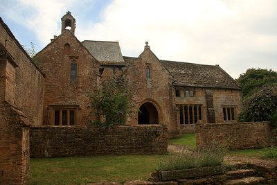
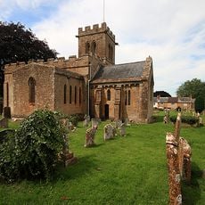
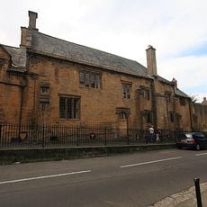
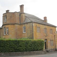
Stoke sub Hamdon Priory, Medieval college ruins in Stoke-sub-Hamdon, England
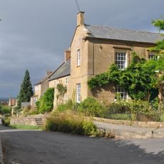
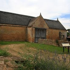
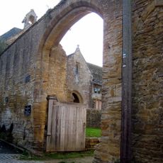
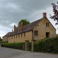
Stoke sub Hamdon Priory is a medieval building complex in Somerset consisting of a great hall and attached living quarters built from local yellow stone. The rooms display Norman architectural elements and original medieval fireplaces that remain visible today.
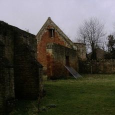
A priest named John de Beauchamp founded the property in 1304 as a college for five clergy to serve a nearby chapel. After 1548 the building was converted into an agricultural operation when religious communities were dissolved.
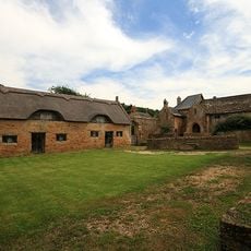
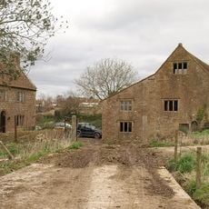
The building shows how a religious place gradually transformed into a working farm over the centuries. Original details like the carved wooden beams still tell the story of this shift today.
The National Trust has managed the property since 1946 and allows visitors to explore the historical rooms. Part of the house remains privately inhabited, so certain areas are not open to the public.
Despite its name, this building never functioned as an actual priory but served as a college for priests attached to a nearby chapel. This distinction matters for understanding its actual religious role in medieval life.
The community of curious travelers
AroundUs brings together thousands of curated places, local tips, and hidden gems, enriched daily by 60,000 contributors worldwide.