Ham Hill, Nature reserve and archaeological site in Somerset, England
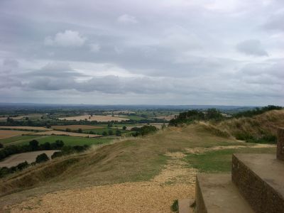
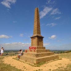
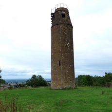
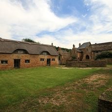
Ham Hill is a nature reserve and archaeological site on elevated ground featuring an ancient fortified hill and sweeping views across the surrounding landscape. The site contains open heath areas, woodland patches, and extensive old quarry pits that shape the terrain.
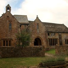
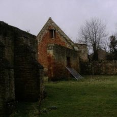
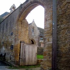
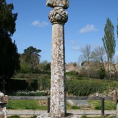
The site served as an important fortified trading hub during the Iron Age before Roman forces captured it in the middle of the 1st century. The place lost its role as a defense and trading center following this conquest, though traces of that early settlement remain visible today.
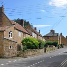
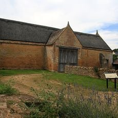
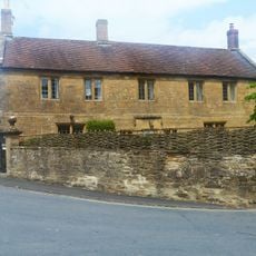
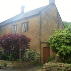
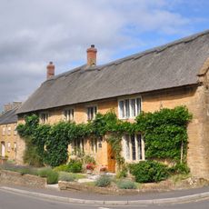
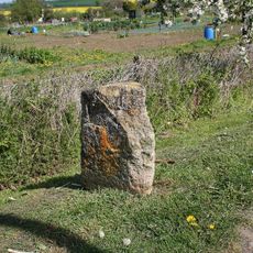
The stone quarried here supplied building material for important structures across the region and beyond. You can still see old quarry pits scattered across the land, evidence of centuries of stone work.
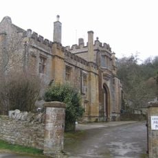
The site offers parking areas, public toilets, and a cafe for refreshments during your visit. Marked walking trails wind across the hilltop and through the grounds, making exploration straightforward for visitors of different abilities.
The hilltop rises from rock deposited around 170 million years ago during the Jurassic period, which continues to shape its geology today. This ancient foundation helps sustain the rich variety of plants and animals you find here now.
Location: Somerset
GPS coordinates: 50.95171,-2.74521
Latest update: December 12, 2025 17:45
Montacute Castle
1.6 km
Church of St Mary the Virgin, Norton Sub Hamdon
1.4 km
Stoke sub Hamdon Priory
456 m
Abbey Farmhouse, Montacute
1.8 km
Church of St Mary the Virgin, East Stoke
696 m
Stoke Sub Hamdon United Reformed Church
542 m
The Kings Arms Inn
1.9 km
Fleur De Lis Hotel
433 m
Hamdon Hill War Memorial
134 m
Remains Of Barn About 15 Metres West Of The Priory
500 m
18, 22 And 24, North Street
470 m
Dovecote About 50 Metres West Of The Priory
515 m
Milestone About 10 Metres East Of Gateway To Greenways (Not Included On List)
386 m
68, North Street
664 m
Abbey Gate
1.9 km
Barn About 25 Metres North West Of The Priory
499 m
Gateway And Wall Linking The Priory And The Barn, About 14 Metres North
467 m
Castle Farmhouse And Attached Outbuildings To North
698 m
Milestone At Ngr St4637 1687
1.4 km
The Old Vicarage And Adjacent Gateway And Boundary Wall
1.9 km
Tower On St Michaels Hill
1.6 km
No 50, With Front Boundary Railings And North Wing Wall
1.9 km
Hoods
502 m
Barn About 14 Metres North Of The Priory
480 m
29 And 30, Bishopston
1.9 km
Medieval secular college at Parsonage Farm
493 m
Cross In Churchyard About 11 Metres North Of Tower, Church Of St Mary The Virgin
660 m
Milestone, Montacute Road, beside allotment gardens, N of St Michael's Hill
1.6 kmVisited this place? Tap the stars to rate it and share your experience / photos with the community! Try now! You can cancel it anytime.
Discover hidden gems everywhere you go!
From secret cafés to breathtaking viewpoints, skip the crowded tourist spots and find places that match your style. Our app makes it easy with voice search, smart filtering, route optimization, and insider tips from travelers worldwide. Download now for the complete mobile experience.
A unique approach to discovering new places❞
— Le Figaro
All the places worth exploring❞
— France Info
A tailor-made excursion in just a few clicks❞
— 20 Minutes