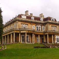
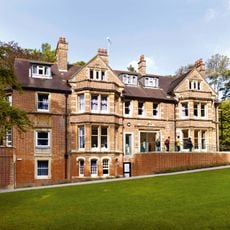
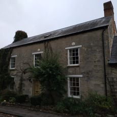
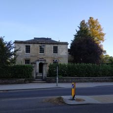
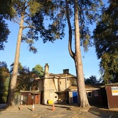
The Vines, Oxford, Victorian residence in Headington, England
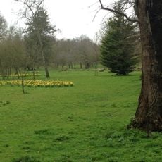
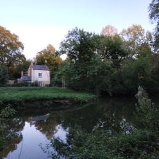
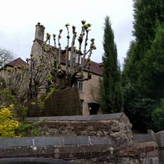
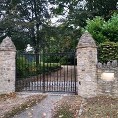
The Vines is a Victorian brick residence with stone details situated in Headington, featuring expansive grounds and views toward Oxford's spires. The property includes shared living spaces, a library, and facilities to support its current operations.
The residence was built between 1889 and 1890 by architect Harry Wilkinson Moore for Professor Sydney Howard Vines, a prominent botanist at Oxford. The property subsequently transitioned through various institutional uses, including service as a training facility for medical professionals.
The house functions as a center for Christian higher education, hosting gatherings for students from different faith backgrounds throughout the year. It serves as a meeting place where academic pursuits connect with spiritual inquiry.
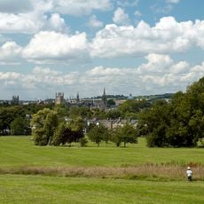
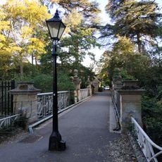
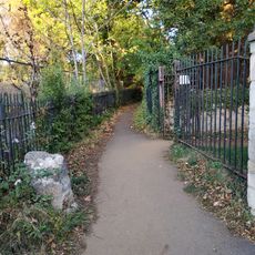
The location benefits from good bus connections to central Oxford, making it accessible by public transport while remaining in a quieter residential area. Visitors should plan to explore the broader Headington neighborhood to appreciate the surroundings.
The building was originally named The Vineyard and underwent several name changes reflecting its shifting uses over time. These different names document the property's journey from private residence through various institutional roles to its present purpose.
GPS coordinates: 51.75950,-1.22720
Latest update: December 14, 2025 14:44
Headington Hill Hall
560 m
Headington Shark
961 m
Mesopotamia
987 m
South Park
941 m
The Oxford Artisan Distillery
834 m
St Clement's Church, Oxford
1 km
Headington Hill Park
702 m
Cotuit Hall
90 m
St Anthony of Padua, Oxford
507 m
Bridge Over Headington Road At Headington Hill Hall
595 m
The Warneford Hospital Chapel
983 m
The Britannia Public House
911 m
New Marston War Memorial
594 m
White Lodge And Sunny Lodge Wall Fronting Osler Road
935 m
Boundary Wall Of The Court
1 km
St Clement's, Oxford War Memorial
995 m
Boundary Wall Of Manor House
952 m
Stone In Warneford Lane Opposite The Entrance To The Warneford Hospital
863 m
8, Dunstan Road
1 km
Hilltop
501 m
Kings Mill
852 m
Manor House, Including The Stable Block To The East
846 m
The Court
1 km
Stone On The South Side Of Headington Road 50 Yards East Of Hilltop
470 m
Stone At The Junction Of Marston Road And The Footpath To Pullens Lane
700 m
Garden Wall Of Manor Farmhouse
1 km
Stone On The North Side Of Headington Hill 20 Yards To The East Of The Bridge
562 m
Headington Hill Hall Lodge House
490 mVisited this place? Tap the stars to rate it and share your experience / photos with the community! Try now! You can cancel it anytime.
Discover hidden gems everywhere you go!
From secret cafés to breathtaking viewpoints, skip the crowded tourist spots and find places that match your style. Our app makes it easy with voice search, smart filtering, route optimization, and insider tips from travelers worldwide. Download now for the complete mobile experience.
A unique approach to discovering new places❞
— Le Figaro
All the places worth exploring❞
— France Info
A tailor-made excursion in just a few clicks❞
— 20 Minutes