Enable Location

We need your location to show you interesting places around you

Discover nearby places

Find interesting locations and hidden gems around you

Precise directions

Get accurate directions and distances to places

Your location is never shared with other users. It's only used when you tap the location button.

Tarren y Gesail

Log in to your account

Start exploring — it's free

Trusted by 62,280 travelers worldwide

Continue with Google
Continue with Apple
or

We will send you a code to connect

By continuing, you accept our Terms and Conditions and our Privacy Policy

Check your inbox

We've sent a pincode in your inbox. Please enter the code below.

Tarren y Gesail

Tarren y Gesail, Mountain summit in Gwynedd, Wales

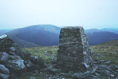
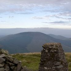
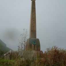
Tarren y Gesail is a mountain summit in Gwynedd rising to approximately 667 meters with a broad grassy ridge topped by a stone cairn and a surveying marker. The peak sits within Snowdonia National Park and forms part of the larger upland landscape of central Wales.

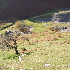
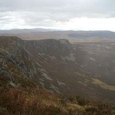
The mountain forms part of the ancient Cambrian Mountains, which developed through geological processes over millions of years in Wales. The region has been traversed by people for millennia and shaped the settlement patterns of the Welsh uplands.

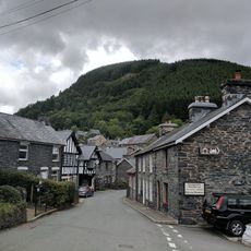
The mountain stands within the boundaries of Snowdonia National Park, where Welsh language and traditions remain strong among local communities.

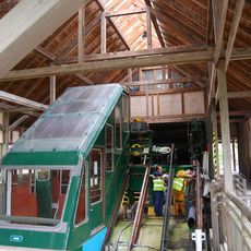
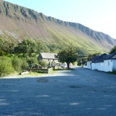
The mountain is accessible via multiple hiking paths, with the main route starting near Talyllyn Railway station and offering options for different fitness levels. Weather conditions change quickly in the mountains, so bringing waterproof clothing and sturdy footwear is essential year-round.

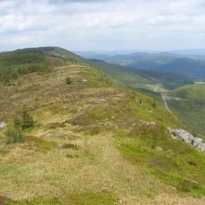
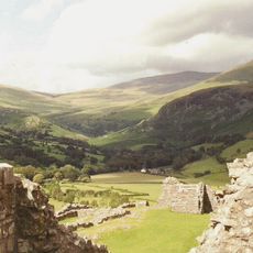
On clear days, views from the peak stretch southward toward Plynlimon and Cardigan Bay, while Cadair Idris dominates the northern horizon. This panoramic sweep across multiple peaks and coastal landscapes from a single vantage point is something many hikers in the region find surprising.

The community of curious travelers

AroundUs brings together thousands of curated places, local tips, and hidden gems, enriched daily by 60,000 contributors worldwide.

Start exploring
Location
Elevation above the sea
667 m
Part of
Cadair Idris
GPS coordinates
52.63546,-3.90692
Latest update
December 14, 2025 20:32
« Tarren y Gesail - Mountain summit in Gwynedd, Wales » is provided by Around Us (aroundus.com). Images and texts are derived from Wikimedia project under a Creative Commons license. You are allowed to copy, distribute, and modify copies of this page, under the conditions set by the license, as long as this note is clearly visible.

Discover hidden gems everywhere you go!

From secret cafés to breathtaking viewpoints, skip the crowded tourist spots and find places that match your style. Our app makes it easy with voice search, smart filtering, route optimization, and insider tips from travelers worldwide. Download now for the complete mobile experience.

Around Us App Screenshot

A unique approach to discovering new places

Le Figaro

All the places worth exploring

France Info

A tailor-made excursion in just a few clicks

20 Minutes

Around Us
Travel Guide & Maps
Download

Send to your phone

QR Code
1

Open the camera app on your mobile.

2

Point at the QR code with your camera. A notification will appear.

3

Tap the notification to open the link.