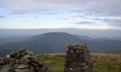
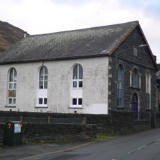
Tarrenhendre, Mountain summit in Gwynedd, Wales.
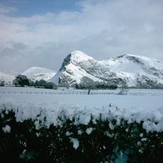
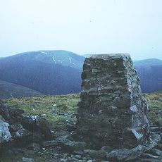
Tarrenhendre is a mountain summit in Gwynedd with an elevation of 634 meters. The peak sits within the Cadair Idris range and features a small stone cairn marking its top.
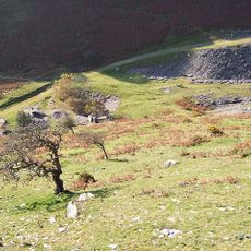
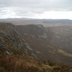
The mountain took its current shape over millions of years through glacial movements across the ancient Snowdonia landscape. These geological processes carved the terrain visible today.
Local Welsh mountaineering groups maintain traditional hiking paths across Tarrenhendre, connecting communities through established walking routes across generations.
The summit is reached via hiking paths that are easy to follow with a local map. The area is accessible year-round, though weather at higher elevations can change quickly.
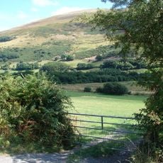
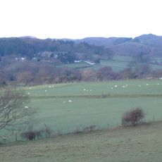
The peak rises about 200 meters above its immediate surroundings and offers clear views toward the Plynlimon mountains and Cardigan Bay on good weather days. Its heather-covered surface gives the mountain a distinctive appearance compared to nearby peaks.
The community of curious travelers
AroundUs brings together thousands of curated places, local tips, and hidden gems, enriched daily by 60,000 contributors worldwide.