
Woolstone, village and civil parish in Vale of White Horse, Oxfordshire, England
Location: Vale of White Horse
Shares border with: Compton Beauchamp, Uffington, Longcot
Website: http://woolstonevillage.co.uk
GPS coordinates: 51.58700,-1.57700
Latest update: March 9, 2025 11:16
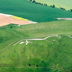
Uffington White Horse
1.3 km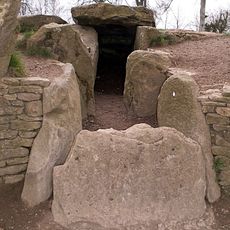
Wayland's Smithy
2.6 km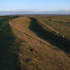
Uffington Castle
1.4 km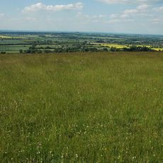
Berkshire Downs
1.4 km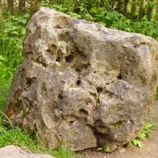
Blowing Stone
3 km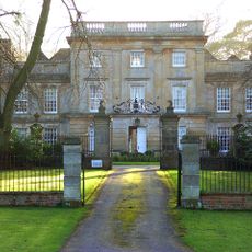
Compton Beauchamp House
1.6 km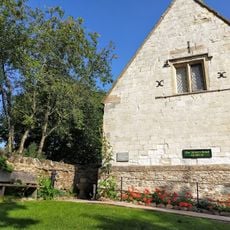
Tom Brown’s School Museum
1.8 km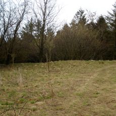
Hardwell Castle
1.2 km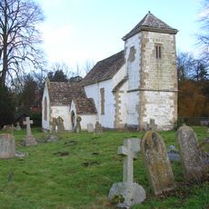
Church of St Swithun
1.7 km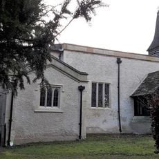
Church of St John the Baptist
3.2 km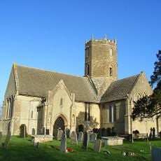
Church of St Mary
1.9 km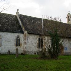
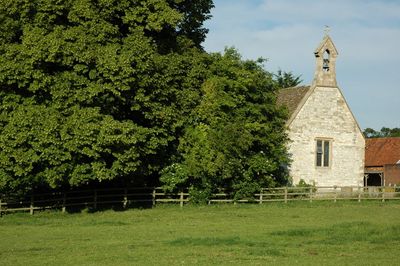
Church of All Saints
66 m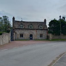
Kingston Lisle Park, The Lodge And Attached Gate Piers
3.2 km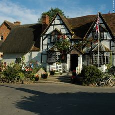
The White Horse Inn
153 m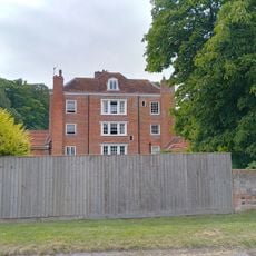
Thornhill House
3.2 km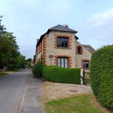
Manor Farmhouse
3.3 km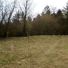
Hardwell Camp promontory fort
1.1 km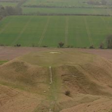
Dragon Hill
995 m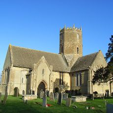
Uffington
1 km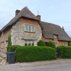
Little Farmhouse
3.1 km
Knighton Farm, 2 Barns And Linking Range, Approximately 40 Metres North East
1.3 km
Rams Hill
2.4 km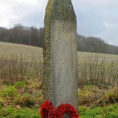
Compton Beauchamp War Memorial
1.5 km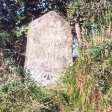
Milestone, Icknield Way; W of Blowing Stone
2.8 km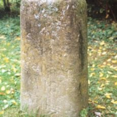
Milestone, Compton Beauchamp, opp. Post box
1.7 km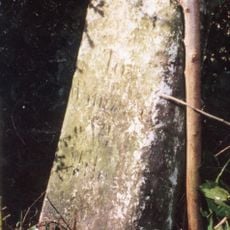
Milestone, Icknield Way; W of Britchcombe Farm
1.3 km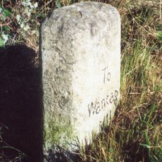
Milestone, Icknield Way; W of White Horse car park road
497 m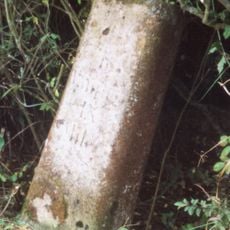
Milestone, Ruffinswick Farm, S of Railway
2.8 kmVisited this place? Tap the stars to rate it and share your experience / photos with the community! Try now! You can cancel it anytime.
Discover hidden gems everywhere you go!
From secret cafés to breathtaking viewpoints, skip the crowded tourist spots and find places that match your style. Our app makes it easy with voice search, smart filtering, route optimization, and insider tips from travelers worldwide. Download now for the complete mobile experience.

A unique approach to discovering new places❞
— Le Figaro
All the places worth exploring❞
— France Info
A tailor-made excursion in just a few clicks❞
— 20 Minutes