Yarrow Valley Park, Country park in Chorley, England.
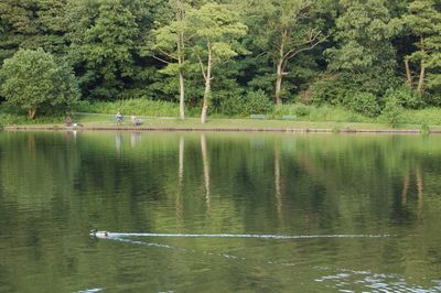
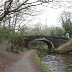
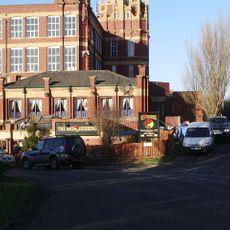
Yarrow Valley Park is a country park near Chorley, in Lancashire, made up of woodland, mill lodges, open fields, and walking trails along the River Yarrow. An information hub and café are located at the main entrance off Birkacre Road, serving as the starting point for most visits.
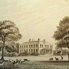
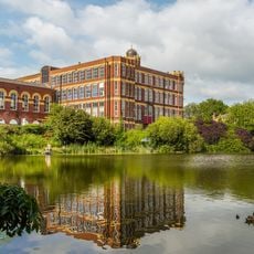
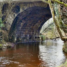
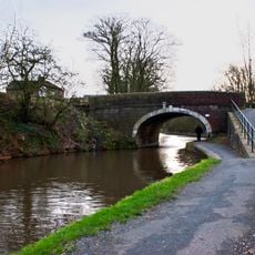
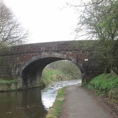
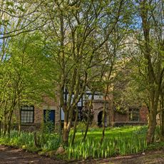
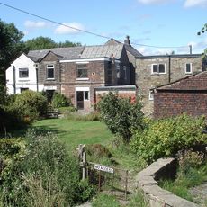
The land was used for textile bleaching, dyeing, and coal mining from the late 1800s until the 1960s, leaving behind the lodges and earthworks still visible today. After industry left, the site was gradually restored and opened to the public as a park.
The park sits on land once used for textile and mining work, and traces of that past are still visible in the stone structures and mill lodges scattered across the site. This mix of reclaimed land and open countryside gives the place a character that goes beyond a typical green space.
The park is reached from Birkacre Road, where free parking is available near the information hub and café. Marked trails guide walkers through the different sections of the site, making it easy to explore at your own pace.
The Yarrow Rocks play area uses natural materials such as timber, stone, and sand rather than standard playground equipment, and it sits within a landscape shaped by former industrial use. A large rope swing and a climbing wall made from reclaimed stone are among the features that make it stand out from typical children's play spaces.
The community of curious travelers
AroundUs brings together thousands of curated places, local tips, and hidden gems, enriched daily by 60,000 contributors worldwide.