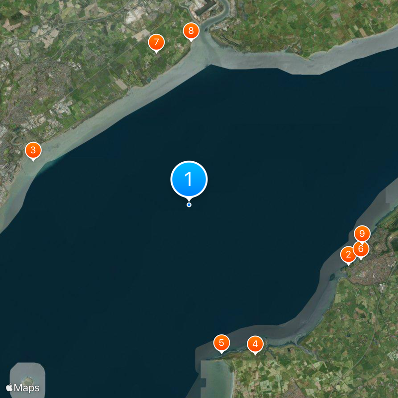
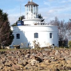
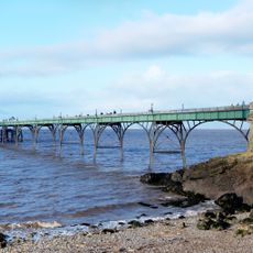
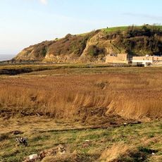
Severn Estuary, Protected estuary in South West England and South Wales, United Kingdom
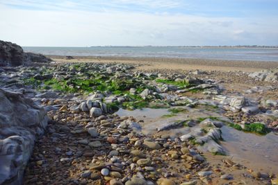
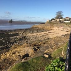
The Severn Estuary is a tidal waterway between South West England and South Wales, extending from Gloucester to a line connecting Sand Point and Lavernock Point. The area is marked by its large tidal range, powerful currents, and extensive mudflats that provide habitat for numerous species.
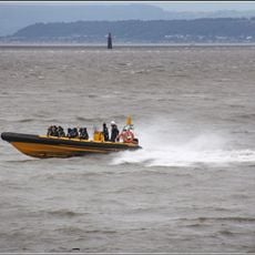
The tidal area has been used for fishing since ancient times, leading to a long tradition of harvesting with specialized techniques. Later industrial and agricultural development altered the landscape, while protection measures emerged to safeguard this resource for future generations.
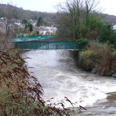
The estuary shapes daily life along its shores, where fishing and boat traffic have been central to the communities for generations. Local people depend on the waterway for their livelihoods and traditions, while conservation efforts work to protect what makes it valuable.
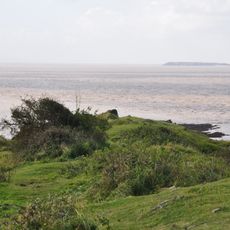
Visiting on foot or from the water is best, as the mudflats become accessible at low tide and offer different viewpoints for observing wildlife. Tides change daily, so checking water level information beforehand helps you plan your visit effectively.
Seven fish species, including Atlantic Salmon and Common Eel, traverse the estuary during their migrations through its nutrient-rich waters. These journeys make the waterway a critical checkpoint in their life cycles.
The community of curious travelers
AroundUs brings together thousands of curated places, local tips, and hidden gems, enriched daily by 60,000 contributors worldwide.