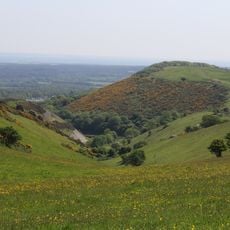
Creech Barrow Hill, Conical hill in Dorset, England.
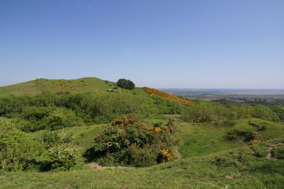
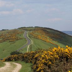
Creech Barrow Hill is a conical rise in Dorset topped by a single round barrow dating to the Bronze Age, standing about 193 meters above the surrounding flatland. From this vantage point, views sweep across the Purbeck landscape and nearby terrain in all directions.
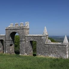
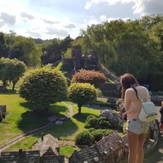
A medieval hunting lodge of King John once stood on this location, signaling its value as a command point over the surrounding lands. This royal use reflects how elevated positions were prized for oversight and control during that era.
The name combines Celtic and Saxon words that describe the hill and its burial mound, revealing how different peoples shaped this land over centuries. Walking up the slope today, you see how these linguistic layers are embedded in the place itself.
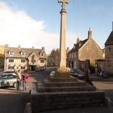
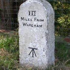
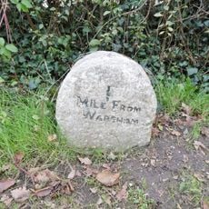
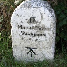
The hill sits close to Wareham town, and Ordnance Survey maps OL15E or OS195 help with navigation and finding the route. A straightforward walk gets you to the top, and the climb is gentle enough for most visitors to complete without difficulty.
This location holds a geological distinction as the highest Cenozoic hill in all of England, rising roughly 38 meters above its immediate surroundings. This fact is often overlooked by visitors but speaks to the rare geological character of the site.
The community of curious travelers
AroundUs brings together thousands of curated places, local tips, and hidden gems, enriched daily by 60,000 contributors worldwide.