Povington Hill, Summit in Purbeck Hills, England
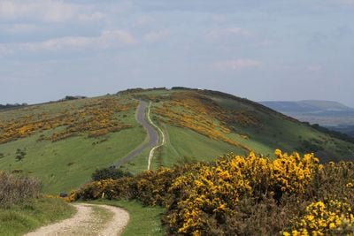
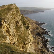
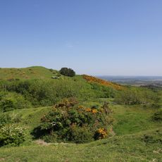
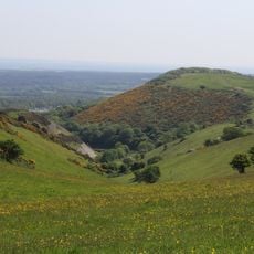
Povington Hill is a summit in the Purbeck Hills standing around 200 meters (656 feet) high, with open grassland and natural vegetation covering its slopes. The hill forms part of a broader ridge with views across the surrounding countryside toward the coast.
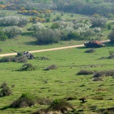
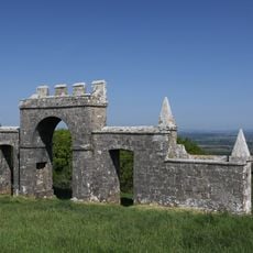
Evidence of Iron Age settlements found here demonstrates human presence spanning thousands of years. The landscape was later used for military purposes during the 20th century before being opened to the public.
The hill sits within a landscape where military history and public recreation now coexist, with walking paths guiding visitors across open terrain. These routes show how the land was returned to public use after decades of restricted military activity.
The summit is accessible via a minor road from East Lulworth, where free parking and picnic facilities are provided. The routes suit different walking abilities and the terrain is generally straightforward to navigate.
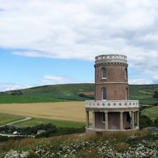
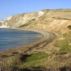
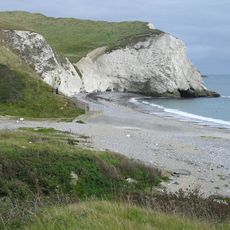
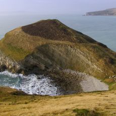
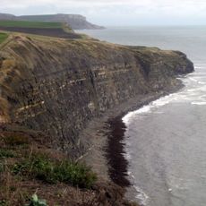
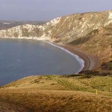
On clear days, views extend across Worbarrow Bay, toward the village of Tyneham, and reach the English Channel cliffs in the distance. These long-distance perspectives reveal how the hills dominate the coastal landscape and offer vantage points across the region.
The community of curious travelers
AroundUs brings together thousands of curated places, local tips, and hidden gems, enriched daily by 60,000 contributors worldwide.