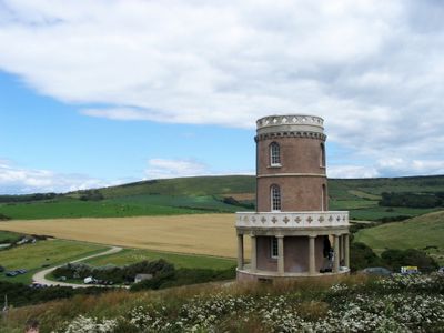
Clavell Tower, Folly tower in Kimmeridge, England.
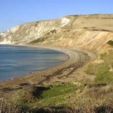
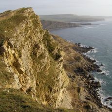
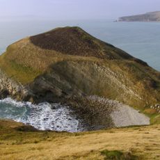
Clavell Tower is a round stone folly tower with four floors and classical columns, standing on the cliffs above Kimmeridge Bay in Dorset. The building faces the sea directly and is designed in a style that references ancient circular temples.
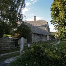
The tower was built in 1830 by a local clergyman named John Richards Clavell, who used it as a viewing point for the sea and sky. Over time it became a landmark for sailors passing along the Dorset coast.
The poet Thomas Hardy is said to have been inspired by the tower when writing his novel 'A Laodicean', and the building still draws visitors who connect it to that story. Standing on the cliff edge, it is easy to see why the spot caught the attention of writers and artists over the years.
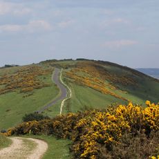
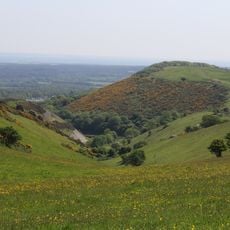
The tower is now used as holiday accommodation and can only be entered by guests who have booked in advance. It can be seen from the outside by walking along the coastal path from Kimmeridge, though some sections of the path are steep.
In 2006 the entire tower was taken apart stone by stone and rebuilt about 25 meters further inland to save it from falling into the sea due to cliff erosion. This made it one of the very few historic towers in England to have been physically moved to a new location.
The community of curious travelers
AroundUs brings together thousands of curated places, local tips, and hidden gems, enriched daily by 60,000 contributors worldwide.