Lulworth Military Range, Military shooting range in Dorset, England
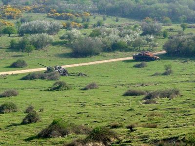
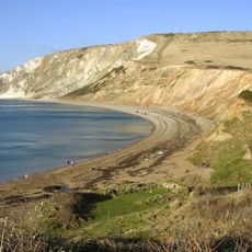
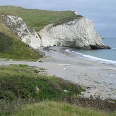
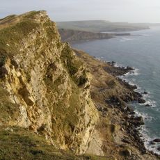
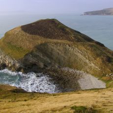
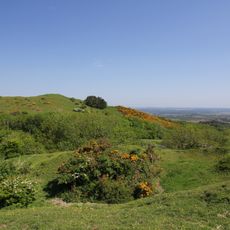
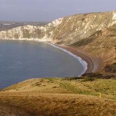
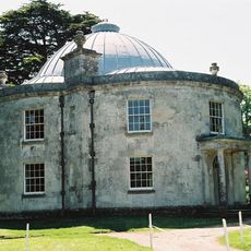
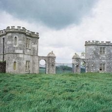
Lulworth Military Range is a large training facility along the Jurassic Coast with zones designated for tank and artillery exercises across roughly 2800 hectares. The landscape includes coastal paths, open fields, and abandoned structures all managed within a defined military training schedule.
The British Army established this training ground in 1917, fundamentally changing how the land was used in the area. The village of Tyneham was evacuated in 1943 to clear space for expanded military exercises.
The range shows how military operations and landscape protection function side by side, visible in how access areas shift and restrictions rotate throughout the year. This ongoing balance shapes how visitors experience the coastal terrain and the roles different zones play in daily life here.
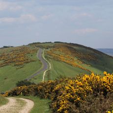
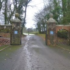
Access depends on the training schedule, and red flags signal when shooting exercises are underway and certain areas are closed. Check ahead to see which paths and coastal sections are open on the day you plan to visit.
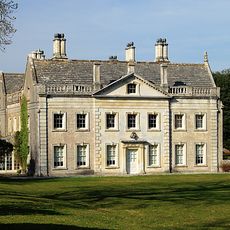
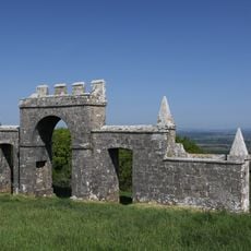
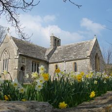
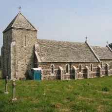
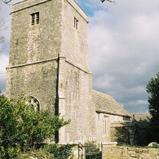
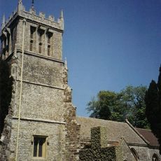
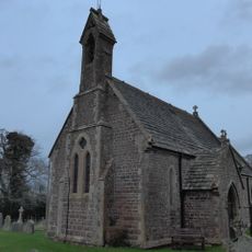
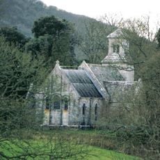
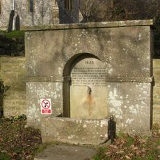
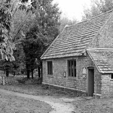
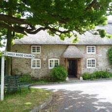
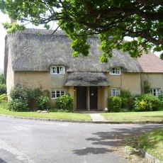
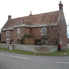
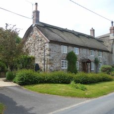
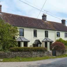
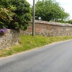
The abandoned village of Tyneham within the range keeps its original buildings such as school and church, and visitors can see them when access permits. This frozen time capsule shows what life looked like here decades ago.
The community of curious travelers
AroundUs brings together thousands of curated places, local tips, and hidden gems, enriched daily by 60,000 contributors worldwide.