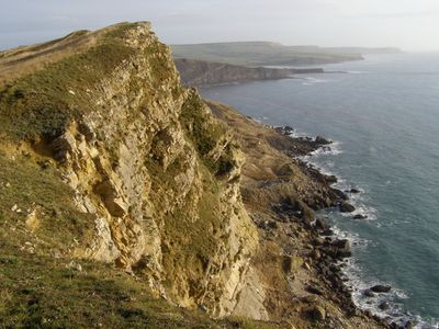
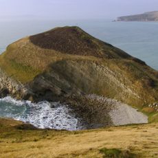
Gad Cliff, Limestone cliff in Dorset, England
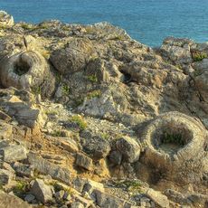
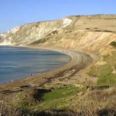
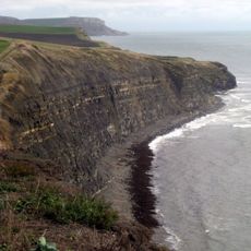
Gad Cliff is a steep limestone outcrop along the Dorset coast, rising around 134 meters above sea level. The exposed rock displays clear folding and layering patterns that reveal the area's geological history.
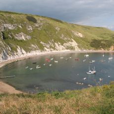
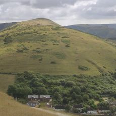
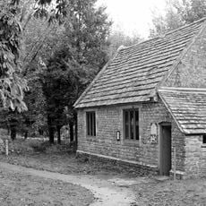
The area around nearby Tyneham village was evacuated in 1943 during World War II for military training exercises. This clearance transformed the coastal region, restricting public access for decades afterward.
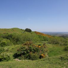
The cliff's name reflects its steep limestone form, and it sits along a coast where visitors come to observe the natural layers and rock formations. Today, people use the area to walk the coastal paths and observe how nature has shaped these stone walls over long periods.
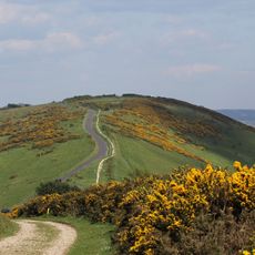
This area sits within a military training range, so visitors should check opening times beforehand and confirm which entry points are available. The starting points are typically Tyneham car park or Kimmeridge Bay, and sturdy footwear is important since the coastal path can be uneven and exposed to the elements.
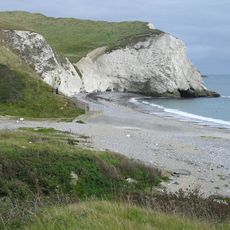
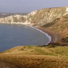
Wagon Rock, a large limestone boulder that broke away from the main cliff face, now stands alone as a marker on the beach below. This separated stone block draws visitor attention to the powerful forces that continue to shape the coast.
The community of curious travelers
AroundUs brings together thousands of curated places, local tips, and hidden gems, enriched daily by 60,000 contributors worldwide.