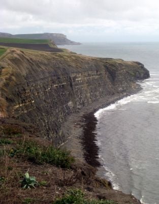
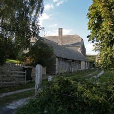
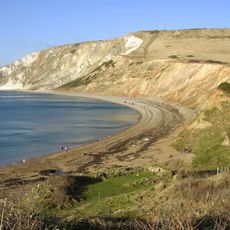
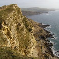
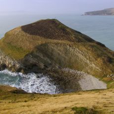
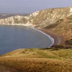
Hen Cliff, Coastal cliff in Isle of Purbeck, England.
Hen Cliff is a steep limestone formation that rises vertically above Kimmeridge Bay, displaying distinct layers of dolomite and shale that create horizontal bands across its surface. The exposed rock face clearly reveals the different stone types stacked one upon another in a way visitors can easily observe.
This formation served as a natural navigation marker for ships traveling through the English Channel since the early periods of British maritime trade. The cliff face was thus an important reference point for sea navigation across many centuries.
Artists and scientists visit this location to sketch and study the exposed rock layers that display millions of years of geological history. These activities make the site a gathering place for people interested in understanding nature's record.
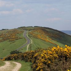
Visitors should maintain a safe distance from the cliff edge since rock falls happen regularly and should use the marked walking path. The marked route offers the best viewing spots while keeping you away from hazards.
The rock contains fossilized remains of marine creatures from the Jurassic period, making this location an important site for paleontologists. Researchers regularly visit the spot to study and collect these ancient fossils.
The community of curious travelers
AroundUs brings together thousands of curated places, local tips, and hidden gems, enriched daily by 60,000 contributors worldwide.