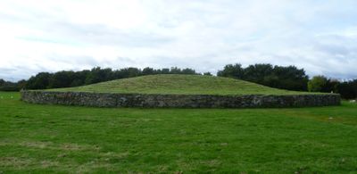
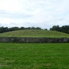
Newbridge chariot, Iron Age chariot burial near Huly Hill, Edinburgh, Scotland
Description
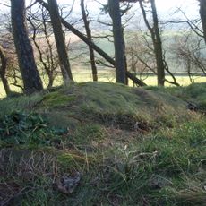
Newbridge chariot is an Iron Age burial site west of Edinburgh, Scotland, featuring preserved iron tires and metal fittings around each wheel. The vehicle was excavated from a pit specifically sized to match the chariot's exact dimensions.
History
Discovery in 2000-2001 marked the first Iron Age chariot burial found in Britain outside Yorkshire, dating to the 5th century BC. This find significantly altered understanding of Iron Age practices across Scotland.
Culture
The burial method reflects Continental European customs rather than Yorkshire traditions, where chariots were typically disassembled before interment. This distinction reveals connections to foreign burial practices in this region.
Practical
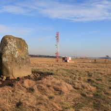
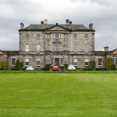
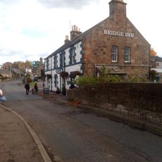
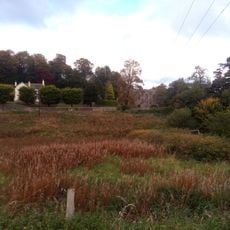
The site sits about 14 kilometers west of Edinburgh city center near the Edinburgh Interchange development area. Visitors should check ahead since this is an archaeological site with limited or seasonal access.
Did you know?
The wheels were extracted in soil blocks, allowing detailed laboratory analysis and conservation by National Museum of Scotland specialists. This extraction method preserved fine details of the wood and metal construction that might otherwise have been lost.
AroundUs brings together thousands of curated places, local tips, and hidden gems, enriched daily by 60,000 contributors worldwide. Discover all places nearby (City of Edinburgh).
Jupiter Artland
3.5 km
Niddry Castle
3.4 km
Bonnington House
3.5 km
Hatton House
3.8 km
Cat Stane
3.3 km
Newliston
1.7 km
Almond Aqueduct
2.5 km
Illieston Castle
3.3 km
Newbridge Inn
352 m
Jupiter Artland
4.1 km
Conifox
1.8 km
Huly Hill, cairn & stone circle SW of Newbridge roundabout
205 m
Bonnington Aqueduct
1.5 km
Almond Valley Viaduct
1.1 km
Broxburn Viaduct
1.7 km
Kirkliston, The Square, Kirkliston Parish Church
2 km
Birdsmill railway bridge
2 km
Catstane, inscribed stone and long cist cemetery 690m E of Carlowrie
3.3 km
Bridge No. 30, Niddry, Union Canal
3.4 km
Tormain Hill,cup & ring marked rocks 700m NE of Bonnington Mains
2.8 km
Depot And Bridge No. 23, Drumshoreland, Union Canal
4.1 km
54 Main Street, Ratho
2.3 km
Bridge Inn, 27 Baird Road, Ratho, Union Canal
2.2 km
Lochend Farm, standing stone 100m WNW of
423 m
Dundas Castle, Dundas Loch Bridge
3.4 km
Union Canal, Ratho, Baird Road, Bridge No. 15
2.2 km
Ratho, Baird Road, Ratho Parish Church And Lady's Well
2.1 km
Easter Norton,standing stone 280m WSW of
3.2 kmDiscover hidden gems everywhere you go!
From secret cafés to breathtaking viewpoints, skip the crowded tourist spots and find places that match your style. Our app makes it easy with voice search, smart filtering, route optimization, and insider tips from travelers worldwide. Download now for the complete mobile experience.
A unique approach to discovering new places❞
— Le Figaro
All the places worth exploring❞
— France Info
A tailor-made excursion in just a few clicks❞
— 20 Minutes