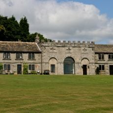
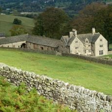
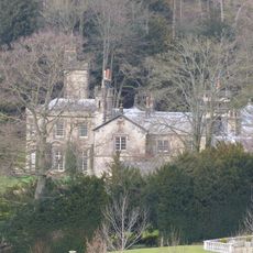
Highlow Hall, Grade II* listed manor house in Highlow, England
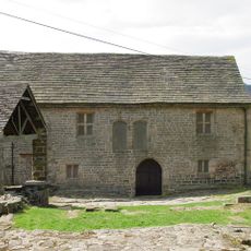
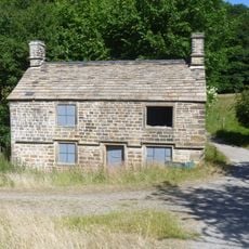
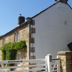
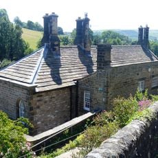
Highlow Hall is an Elizabethan-era manor house with an irregular L-shaped floor plan and carefully worked gritstone walls. The building rises two storeys with a prominent entrance porch, coursed stone construction, and slate roof covering.
The manor house was built during the Elizabethan period and remained under the Eyre family ownership from 1340 until 1842, spanning over five centuries. This extended period of continuous family tenure shaped the property and its character across the ages.
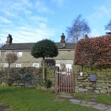
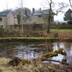
The place name reflects its location in a high, low valley setting that remains visible in the surrounding landscape today. The rooms with their old beams and ceilings convey how people lived and worked in this space centuries ago.
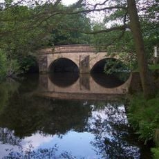
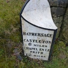
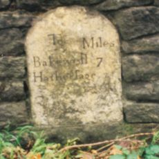
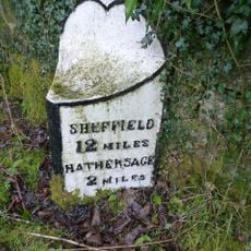
The hall sits in a rural setting near Hathersage in Derbyshire, accessible by local roads through open countryside. Visitors should plan for the location's remote position and allow time for finding the approach.
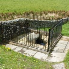
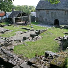
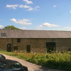
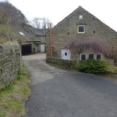
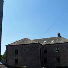
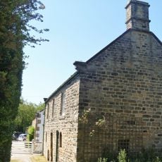
The estate includes several protected outbuildings and gate structures that have received separate heritage designations in their own right. These additional buildings form an integral part of the larger historical complex.
The community of curious travelers
AroundUs brings together thousands of curated places, local tips, and hidden gems, enriched daily by 60,000 contributors worldwide.