Chest opened
+${chestReward.xp} XP
Explorer
NOUVEAU ×${chestReward.collectible.quantity}
tapez pour fermer

See the monuments around you in AR Open chests in the app

Around Us is built for your phone — point your camera at the streets and discover the monuments and places around you in augmented reality. Around Us is built for your phone — chests unlock when you walk, explore and capture nearby places.

Enable Location

We need your location to show you interesting places around you

Discover nearby places

Find interesting locations and hidden gems around you

Precise directions

Get accurate directions and distances to places

Your location is never shared with other users. It's only used when you tap the location button.

Caesar's Camp

Log in to your account

Start exploring — it's free

Trusted by 86,157 travelers worldwide

Continue with Google
Continue with Apple
or

We will send you a code to connect

By continuing, you accept our Terms and Conditions and our Privacy Policy

Check your inbox

We've sent a pincode in your inbox. Please enter the code below.

Discussion Reviews 1 Photos
7.5k Popularity

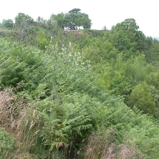
Caesar's Camp, Iron Age promontory fort in Farnham, England

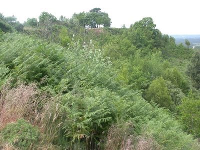
Caesar's Camp is an Iron Age fort situated on elevated terrain near Farnham, surrounded by double ramparts and ditches that follow the natural hillside contours. The site covers a large area with multiple rings of defensive earthworks that encircle the summit.

The fort developed during the Iron Age with multiple phases of construction that strengthened and expanded its defenses. Over centuries, the site transitioned from active use to gradual abandonment.

The name references Roman occupation, though Iron Age communities were its primary users and builders. Walking the hillside today, you can see how the ramparts shaped the settlement and how the landscape itself became part of the defense.

The hilltop is accessible from several nearby towns and features open grassland for walking and exploration. Visitors should expect uneven ground and wear sturdy shoes, especially after rain.

Excavations in the 1980s uncovered artifacts from different periods, revealing that people used and revisited the site over many centuries. From the hilltop, visitors occasionally see aircraft in the sky, adding a modern contrast to the ancient landscape.

The community of curious travelers

AroundUs brings together thousands of curated places, local tips, and hidden gems, enriched daily by 60,000 contributors worldwide.
Start exploring
Location
Location
Location
GPS coordinates
51.24350,-0.80436
Latest update
September 13, 2026 17:17
Around this place
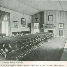
Royal Pavilion, Aldershot
United Kingdom

Royal Pavilion, Aldershot

1 mi
Equestrian statue of the Duke of Wellington
United Kingdom

Equestrian statue of the Duke of Wellington

1.3 mi
Royal Garrison Church
United Kingdom

Royal Garrison Church

1.3 mi
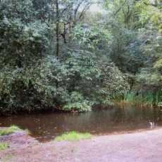
Rowhill Nature Reserve
United Kingdom

Rowhill Nature Reserve

1.1 mi
The Church of St John the Evangelist, Hale
United Kingdom

The Church of St John the Evangelist, Hale

1.4 mi
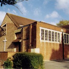
St Mark the Evangelist Church, Upper Hale, Farnham
United Kingdom

St Mark the Evangelist Church, Upper Hale, Farnham

0.6 mi
Farnham Park
United Kingdom

Farnham Park

1.3 mi
Hale Methodist Church
United Kingdom

Hale Methodist Church

0.8 mi
The Ranger's House, Farnham Park
United Kingdom

The Ranger's House, Farnham Park

1.4 mi
Church of the Ascension
United Kingdom

Church of the Ascension

1.4 mi
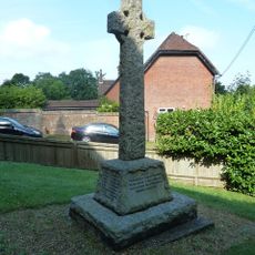
Ewshot WW1 Cross
United Kingdom

Ewshot WW1 Cross

1.2 mi
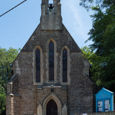
St Mary's Church
United Kingdom

St Mary's Church

1.2 mi
United Kingdom

Garden Wall To The South Of Weybourne House

1.4 mi
Weybourne House
United Kingdom

Weybourne House

1.4 mi
United Kingdom

Large multivallate hillfort and later park pale at Caesar's Camp

0 ft
Parachute Regiment And Airborne Forces, Aldershot
United Kingdom

Parachute Regiment And Airborne Forces, Aldershot

1.3 mi
Royal Garrison Church War Memorial, Aldershot
United Kingdom

Royal Garrison Church War Memorial, Aldershot

1.3 mi
United Kingdom

Gateway And Two Flanking Guardrooms To Former Willems Barracks

1.3 mi
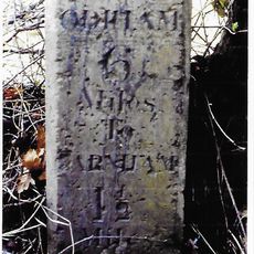
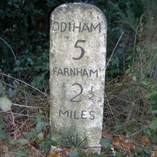
Milestone, Hog Hatch, S of jct with A3016
United Kingdom

Milestone, Hog Hatch, S of jct with A3016

0.7 mi
Milestone, Warren Corner
United Kingdom

Milestone, Warren Corner

1.3 mi
United Kingdom

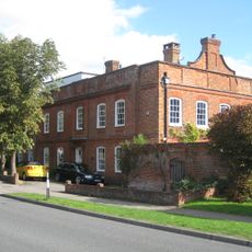
Gateway And Two Flanking Guardrooms To Former Beaumont Cavalry Barracks

1.1 mi
United Kingdom

Boundary Wall And Railings To The Former Beaumont Cavalry Barracks

1 mi
United Kingdom

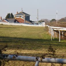
Tweseldown Race Course

1.3 mi
United Kingdom

Badger

1.4 mi
United Kingdom

Squirrel

1.2 mi
United Kingdom

Bee Tree

1.3 mi
United Kingdom

Dragon

1.4 mi
United Kingdom

Scenic viewpoint

0.2 mi
Show the full map
Reviews
Share your experience

No review yet

Discussions
Start a discussion...

No discussion yet

« Caesar's Camp - Iron Age promontory fort in Farnham, England » is provided by Around Us (aroundus.com). Images and texts are derived from Wikimedia project under a Creative Commons license. You are allowed to copy, distribute, and modify copies of this page, under the conditions set by the license, as long as this note is clearly visible.

Discover hidden gems everywhere you go!

From secret cafés to breathtaking viewpoints, skip the crowded tourist spots and find places that match your style. Our app makes it easy with voice search, smart filtering, route optimization, and insider tips from travelers worldwide. Download now for the complete mobile experience.

Around Us App Screenshot

A unique approach to discovering new places

Le Figaro

All the places worth exploring

France Info

A tailor-made excursion in just a few clicks

20 Minutes

Around Us
Travel Guide & Maps
Download

Send to your phone

QR Code
1

Open the camera app on your mobile.

2

Point at the QR code with your camera. A notification will appear.

3

Tap the notification to open the link.