Rushmoor, Administrative district in Hampshire, England
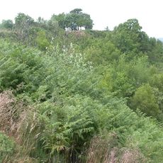
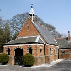
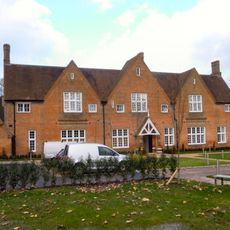
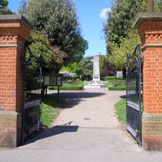
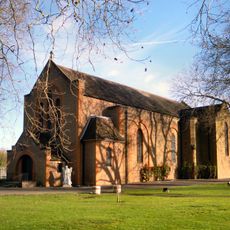
Rushmoor is an administrative district in Hampshire comprising two main towns, Aldershot and Farnborough, with a mix of developed areas and green spaces scattered throughout. The district includes residential neighborhoods, local shops, and open areas that serve the surrounding communities.
The area was formed in 1974 when the former Aldershot Municipal Borough was merged with Farnborough Urban District. This combination created the modern administrative structure that has remained in place since then.
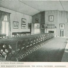
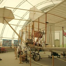
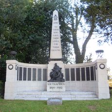
The district carries strong ties to military life, with Aldershot serving as a garrison town and Farnborough developing as an aviation hub. These connections shape how locals see their communities and what draws people to visit.
The district is accessible from various directions and well-connected to surrounding areas and larger towns. Visitors will find shops, parks, and public facilities distributed across both towns that are managed by the local authority.
Rushmoor Arena, a military ground built in 1923, is where the district's name comes from. This shows how central Aldershot's military facilities were to shaping the entire region's identity and development.
Website: https://rushmoor.gov.uk
GPS coordinates: 51.27524,-0.76939
Latest update: December 7, 2025 20:40
St Michael's Abbey, Farnborough
2.8 km
Royal Pavilion, Aldershot
2.9 km
Equestrian statue of the Duke of Wellington
2.5 km
Caesar's Camp, Rushmoor and Waverley
4.3 km
Cathedral of St Michael and St George, Aldershot
1.8 km
Aldershot Military Cemetery
2.7 km
Farnborough Air Sciences Trust
1.3 km
Aldershot Military Museum
1.5 km
Park Crematorium, Aldershot
5.1 km
Royal Garrison Church
2.7 km
Prince Consort's Library
2.3 km
Church of St Michael the Archangel, Aldershot
3.9 km
Aldershot Observatory
1.9 km
West End Centre
3 km
Princes Hall
2.7 km
Aldershot Methodist Church
3 km
St Joseph Church, Aldershot
3 km
Old Union Poor House
2.5 km
Municipal Gardens
3.1 km
St Andrew's Garrison Church, Aldershot
1.8 km
Rowhill Nature Reserve
4 km
Royal Army Medical Corps Boer War Memorial
2.5 km
St Mark the Evangelist Church, Upper Hale, Farnham
5 km
Church of the Holy Trinity
3.2 km
Smith-Dorrien House
2.3 km
Government House
767 m
South East District Headquarters Building Of General Officers Commanding
2 km
Farnborough Town Hall
1.3 kmVisited this place? Tap the stars to rate it and share your experience / photos with the community! Try now! You can cancel it anytime.
Discover hidden gems everywhere you go!
From secret cafés to breathtaking viewpoints, skip the crowded tourist spots and find places that match your style. Our app makes it easy with voice search, smart filtering, route optimization, and insider tips from travelers worldwide. Download now for the complete mobile experience.
A unique approach to discovering new places❞
— Le Figaro
All the places worth exploring❞
— France Info
A tailor-made excursion in just a few clicks❞
— 20 Minutes