
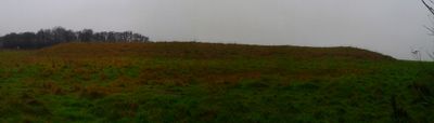
Long barrow north east of Winterbourne Stoke crossroads
Long barrow north east of Winterbourne Stoke crossroads, long barrow in Wilsford cum Lake/Winterbourne Stoke, Wiltshire, England, UK
Location: Wilsford cum Lake
Location: Winterbourne Stoke
GPS coordinates: 51.17260,-1.85842
Latest update: March 6, 2025 07:30
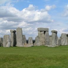
Stonehenge
2.4 km
Stonehenge, Avebury and Associated Sites
2.4 km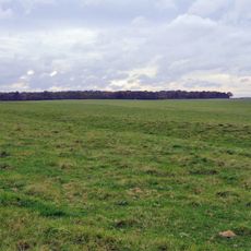
Stonehenge Cursus
2.7 km
Heelstone
2.4 km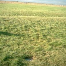
Aubrey holes
2.4 km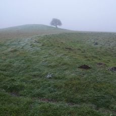
Bush Barrow
2.3 km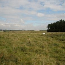
Stonehenge Landscape
2.2 km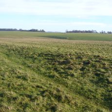
Stonehenge Avenue
2.4 km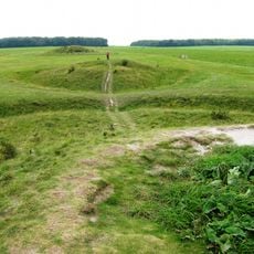
New henge at Stonehenge
1.9 km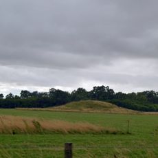
Normanton Down Barrows
2.3 km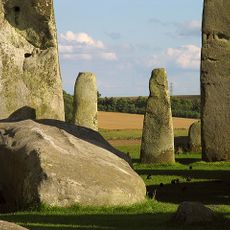
Altar Stone
2.4 km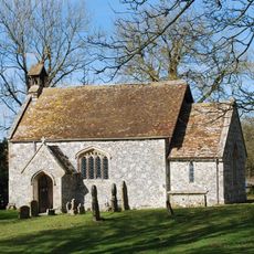
St Andrew's Church, Rollestone
3.1 km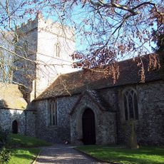
Church of St Peter
2.5 km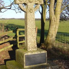
The Hewetson Memorial Cross at Fargo Plantation, and Field Plaque at SU13784399
1.7 km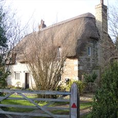
Jasmine Cottage
3.3 km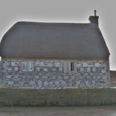
Halfway Cottage
3.3 km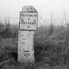
Milestone Approximately 100 Metres South Of Longbarrow Roundabout At Junction With A303
246 m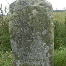
Milestone Approximately 850 Metres East Of Longbarrow Roundabout
695 m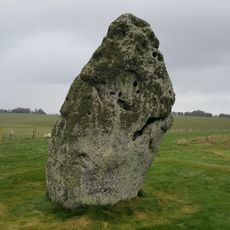
Milestone Opposite Stonehenge
2.4 km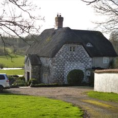
The Old Rectory
3.1 km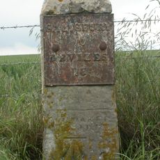
Milestone Approximately 120 Metres South Of Junction With Bustard Road
3 km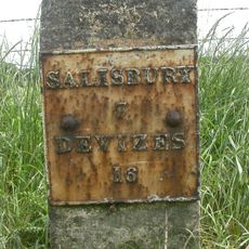
Milestone
1.9 km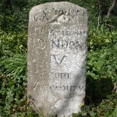
Milestone West Of B3083 Junction
2.6 km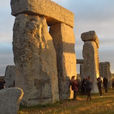
Stonehenge and Associated Monuments
2.4 km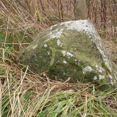
Milestone
2.3 km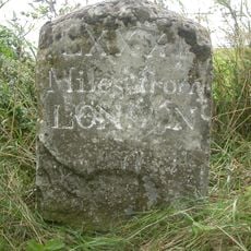
Milestone, Winterbourne Stoke Down; 60m W of edge Fargo Plantation
1.5 km
Milestone, Rollestone
2.6 km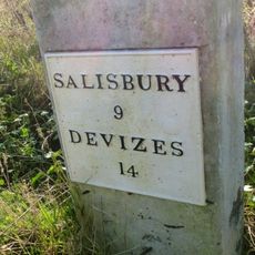
Milestone, Airman's Corner; 25m S junction
1.4 kmVisited this place? Tap the stars to rate it and share your experience / photos with the community! Try now! You can cancel it anytime.
Discover hidden gems everywhere you go!
From secret cafés to breathtaking viewpoints, skip the crowded tourist spots and find places that match your style. Our app makes it easy with voice search, smart filtering, route optimization, and insider tips from travelers worldwide. Download now for the complete mobile experience.

A unique approach to discovering new places❞
— Le Figaro
All the places worth exploring❞
— France Info
A tailor-made excursion in just a few clicks❞
— 20 Minutes