Durno, Roman military site in Chapel of Garioch, Scotland.
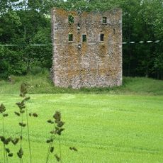
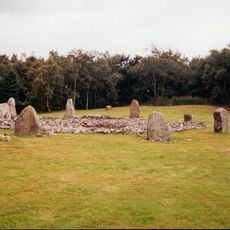
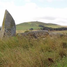
Durno is a Roman military fort near the village of Chapel of Garioch in Aberdeenshire, with remains of defensive walls and ditches still visible on the ground. The site shows the layout of a typical Roman fort with defined entrances and internal structures.
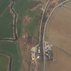
This fort was established in the 1st century CE during Roman campaigns in northern Britain, showing the extent of Roman expansion northward. The site was later abandoned, marking the end of Roman control in this remote part of Scotland.
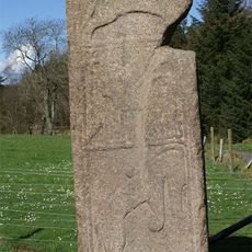
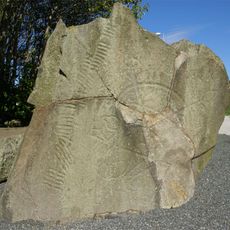
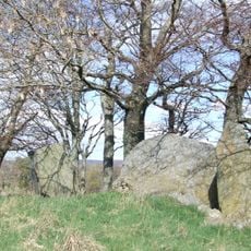
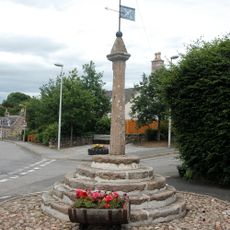
The nearby Maiden Stone, a Pictish monument from the 8th or 9th century, displays Christian symbols and traditional carvings that reveal the cultural layers of this region. The contrast between the Roman fort and this later stone shows how this area held meaning across different periods.
Access is gained via a minor road northwest from Chapel of Garioch village, with parking available nearby. The ground is open and easily walkable, giving clear views of the remaining earthworks and defensive features.
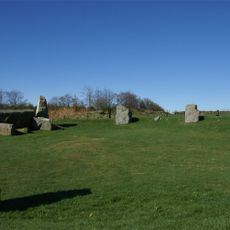
The fort sits on particularly rough highland terrain that the Romans chose despite harsh conditions for their northernmost expansion. The rough landscape itself tells the story of the challenges Roman troops faced when pushing this far north.
The community of curious travelers
AroundUs brings together thousands of curated places, local tips, and hidden gems, enriched daily by 60,000 contributors worldwide.