Bennachie, Mountain summit in Aberdeenshire, Scotland.
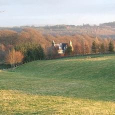
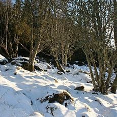
Bennachie is a forested ridge with several peaks, where Oxen Craig and Mither Tap rise to around 528 meters (1,732 feet) and form the highest points. The mountain is shaped by open moorland and woodland sections, with multiple marked trails crossing through varying landscapes.
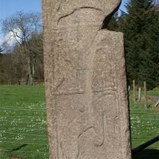
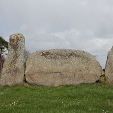
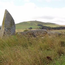
The summit of Mither Tap holds remnants of an ancient Pictish fort with stone walls, evidence of settlement from several centuries ago. This fortification reflects a period when Pictish communities inhabited the northern regions of Scotland.
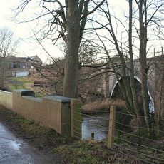
The ridge holds meaning for local communities who have long regarded it as a landmark defining their landscape. Visitors return here regularly, creating a strong connection between the mountain and those who live nearby.
The site is accessible from the Bennachie Visitor Centre, which offers parking and a choice of hiking trails suited to different ability levels. The paths are generally well-maintained and clearly marked for easy navigation.
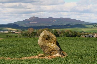
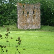
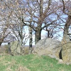
The exposed granite formations create a distinctive rocky landscape that sets this mountain apart from surrounding hills and makes the terrain varied underfoot. Walking the trails, visitors encounter remnants of 19th-century homesteads scattered across the slopes, offering glimpses of how people once lived in remote areas.
The community of curious travelers
AroundUs brings together thousands of curated places, local tips, and hidden gems, enriched daily by 60,000 contributors worldwide.