
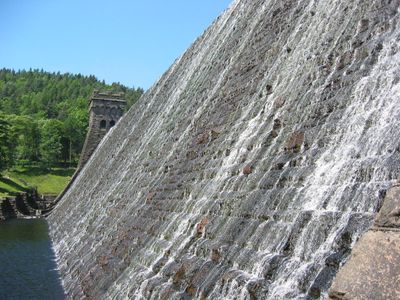
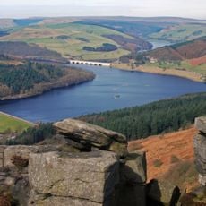
Howden Dam Howden Reservoir, dam in Hope Woodlands, High Peak, Derbyshire, UK
Location: Hope Woodlands
Location: Bradfield
GPS coordinates: 53.42848,-1.74507
Latest update: March 4, 2025 00:15
Ladybower Reservoir
5.4 km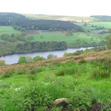
Dale Dike Reservoir
7.5 km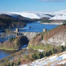
Howden Reservoir
632 m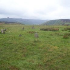
Hordron Edge stone circle
7.2 km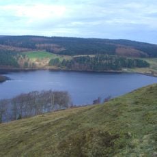
Strines Reservoir
6.3 km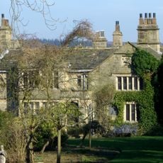
Sugworth Hall
6.8 km
Hallfield House
6.4 km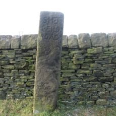
Moscar Cross
7.4 km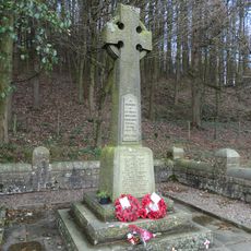
Derwent Woodlands War Memorial
4.3 km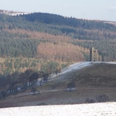
Sugworth Tower
6.5 km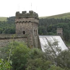
Derwent Dam
2.6 km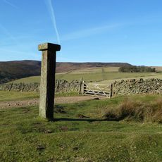
Hope Cross at OS 162 874 approximately 1 mile off Edale Road
5.1 km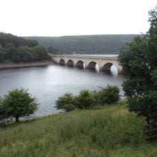
Ashopton Viaduct
6.4 km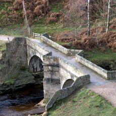
Slippery Stones packhorse bridge
2.7 km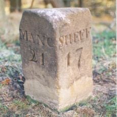
Milestone
6.1 km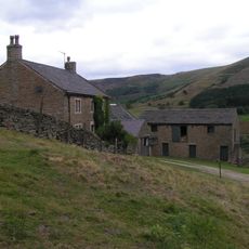
Upper Ashop Farmhouse
4.3 km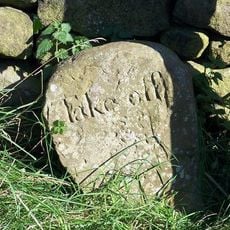
Take Off Stone Approx 85 Metres To North Of Strines Public House
5.5 km
Edale End Farmhouse and attached barn
6.1 km
Stone circle, 960m north east of High Lees Farm
7.2 km
Barns to the north of Rowlee Farmhouse
3.5 km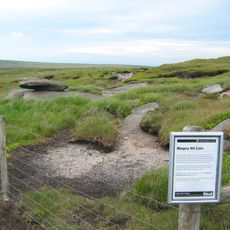
Round cairn 200m west of Margery Hill triangulation pillar
3.6 km
Wayside cross on Bradfield Moor known as New Cross
4.6 km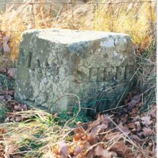
Milestone, W of Wood Cottage in Woodlands Valley
5.4 km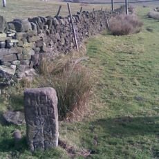
Guidestone, Sheepfold, SW of Moscar House Farm
6.8 km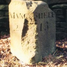
Milestone, near Hagglee Ford
4.5 km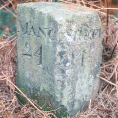
Milestone, W of Bellhag Wood
3.7 km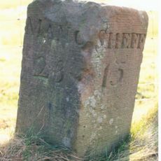
Milestone, Snake Road, Alport Bridge, Woodlands Valley
4.2 km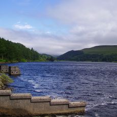
Derwent Reservoir
1.8 kmReviews
Visited this place? Tap the stars to rate it and share your experience / photos with the community! Try now! You can cancel it anytime.
Discover hidden gems everywhere you go!
From secret cafés to breathtaking viewpoints, skip the crowded tourist spots and find places that match your style. Our app makes it easy with voice search, smart filtering, route optimization, and insider tips from travelers worldwide. Download now for the complete mobile experience.

A unique approach to discovering new places❞
— Le Figaro
All the places worth exploring❞
— France Info
A tailor-made excursion in just a few clicks❞
— 20 Minutes