Chest opened
+${chestReward.xp} XP
Explorer
NOUVEAU ×${chestReward.collectible.quantity}
tapez pour fermer
Chest locked

Open chests in the app

Around Us is built for your phone — chests unlock when you walk, explore and capture nearby places.

Enable Location

We need your location to show you interesting places around you

Discover nearby places

Find interesting locations and hidden gems around you

Precise directions

Get accurate directions and distances to places

Your location is never shared with other users. It's only used when you tap the location button.

Flippin

Log in to your account

Start exploring — it's free

Trusted by 72,887 travelers worldwide

Continue with Google
Continue with Apple
or

We will send you a code to connect

By continuing, you accept our Terms and Conditions and our Privacy Policy

Check your inbox

We've sent a pincode in your inbox. Please enter the code below.

Discussion Reviews 1 Photos
16.7k Popularity

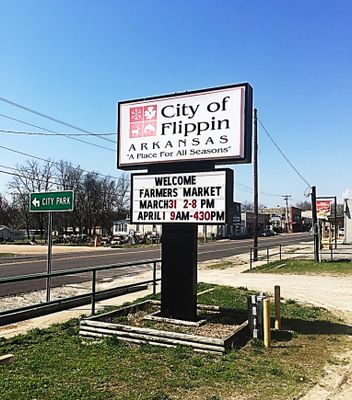
Flippin, city in Arkansas, USA

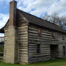
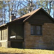
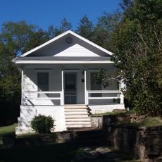
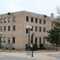
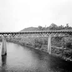
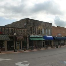
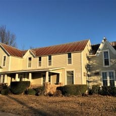
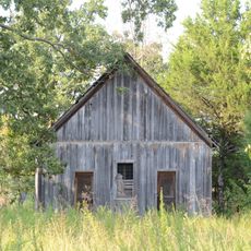
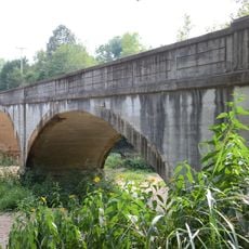
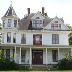
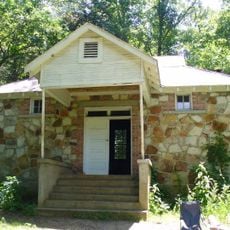
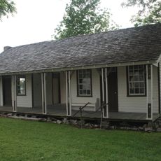
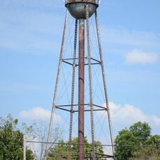
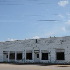
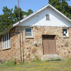
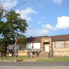
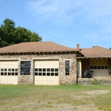
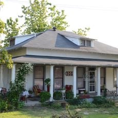
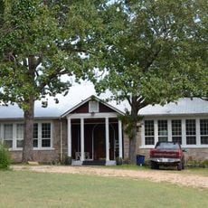
Flippin is a small city in Marion County in northern Arkansas, located near the White River and several lakes. The town has about 1,355 residents and features simple buildings and homes that create a relaxed, quiet atmosphere.

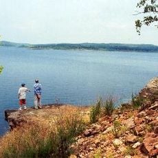
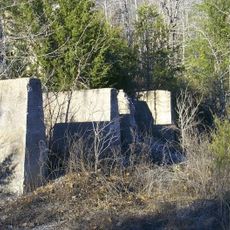
The settlement began in the early 1800s as the Barrens and was later called Goatville before being named after Thomas H. Flippin, a farmer who settled in the area. The construction of Bull Shoals Dam in the 1940s transformed the region and made it a major tourism and fishing center.

The town's name comes from Thomas H. Flippin, a local farmer whose family played a role in the area for generations. Today you can see how fishing and water activities shape daily life and how neighbors gather regularly for community events.

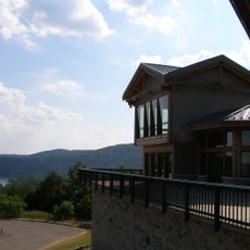
The town is easy to reach by car and sits near major roads connecting to several cities. The best way to explore the area is walking through the streets or driving to nearby lakes and rivers for outdoor and fishing activities.

Ranger Boats, a globally known company for bass fishing boats, was founded in the town in 1968 and continues to shape the local economy and reputation. The company and its related ventures remain major employers for many residents.

The community of curious travelers

AroundUs brings together thousands of curated places, local tips, and hidden gems, enriched daily by 60,000 contributors worldwide.

Start exploring
Location
Elevation above the sea
193 m
GPS coordinates
36.27732,-92.59353
Latest update
February 17, 2026 01:40
Around this place
Bull Shoals Lake
United States of America

Bull Shoals Lake

9.9 km
Bull Shoals-White River State Park
United States of America

Bull Shoals-White River State Park

9.1 km
Cotter Bridge
United States of America

Cotter Bridge

4.6 km
Rush Historic District
United States of America

Rush Historic District

16.2 km
Jacob Wolf House
United States of America

Jacob Wolf House

28.6 km
Buffalo River State Park
United States of America

Buffalo River State Park

22.3 km
Elliott and Anna Barham House
United States of America

Elliott and Anna Barham House

29 km
Baxter County Courthouse
United States of America

Baxter County Courthouse

19.8 km
North Fork Bridge
United States of America

North Fork Bridge

28.5 km
Mountain Home Commercial Historic District
United States of America

Mountain Home Commercial Historic District

19.8 km
Hirst-Mathew Hall
United States of America

Hirst-Mathew Hall

22.6 km
Case-Shiras-Dearmore House
United States of America

Case-Shiras-Dearmore House

20.2 km
Pea Ridge School Building
United States of America

Pea Ridge School Building

25.1 km
Crooked Creek Bridge
United States of America

Crooked Creek Bridge

22.7 km
Cowdrey House
United States of America

Cowdrey House

9.8 km
Cold Springs School
United States of America

Cold Springs School

24.6 km
Casey House
United States of America

Casey House

19.7 km
Cotter Water Tower
United States of America

Cotter Water Tower

5.8 km
Rollins Hospital
United States of America

Rollins Hospital

8.9 km
Fairview School Building
United States of America

Fairview School Building

6.4 km
Horace Mann School Historic District
United States of America

Horace Mann School Historic District

28.9 km
Aggie Workshop
United States of America

Aggie Workshop

22.6 km
Davis House
United States of America

Davis House

28.6 km
Marion County Courthouse
United States of America

Marion County Courthouse

9.8 km
Eros School Building
United States of America

Eros School Building

25.3 km
Buford School Building
United States of America

Buford School Building

15.3 km
Carter-Jones House
United States of America

Carter-Jones House

9.8 km
Pyatt School Building
United States of America

Pyatt School Building

22.9 km
Show the full map
Reviews
Share your experience

No review yet

Discussions
Start a discussion...

No discussion yet

« Flippin - city in Arkansas, USA » is provided by Around Us (aroundus.com). Images and texts are derived from Wikimedia project under a Creative Commons license. You are allowed to copy, distribute, and modify copies of this page, under the conditions set by the license, as long as this note is clearly visible.

Discover hidden gems everywhere you go!

From secret cafés to breathtaking viewpoints, skip the crowded tourist spots and find places that match your style. Our app makes it easy with voice search, smart filtering, route optimization, and insider tips from travelers worldwide. Download now for the complete mobile experience.

Around Us App Screenshot

A unique approach to discovering new places

Le Figaro

All the places worth exploring

France Info

A tailor-made excursion in just a few clicks

20 Minutes

Around Us
Travel Guide & Maps
Download

Send to your phone

QR Code
1

Open the camera app on your mobile.

2

Point at the QR code with your camera. A notification will appear.

3

Tap the notification to open the link.