Enable Location

We need your location to show you interesting places around you

Discover nearby places

Find interesting locations and hidden gems around you

Precise directions

Get accurate directions and distances to places

Your location is never shared with other users. It's only used when you tap the location button.

Danbury

Log in to your account

Start exploring — it's free

Trusted by 61,611 travelers worldwide

Continue with Google
Continue with Apple
or

We will send you a code to connect

By continuing, you accept our Terms and Conditions and our Privacy Policy

Check your inbox

We've sent a pincode in your inbox. Please enter the code below.

Danbury, Manufacturing city in Fairfield County, Connecticut, US

Description

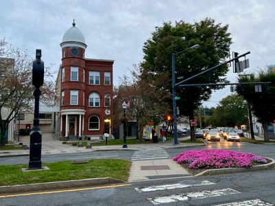
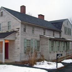
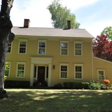
Danbury sits in the foothills of the Berkshire Hills along the Still River, serving as a major commercial center in southwestern Connecticut. The city spreads over hilly terrain, with the downtown area clustering around Main Street and White Street while residential neighborhoods fan out across surrounding hills and valleys.

History

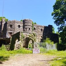
British forces under Major General William Tryon burned and looted the town in April 1777 when it functioned as a military supply depot. This action triggered the Battle of Ridgefield, where American militias attempted to intercept the retreating British units.

Culture

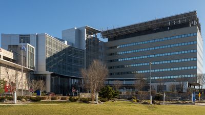
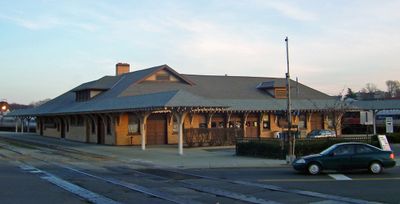
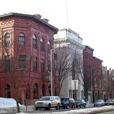
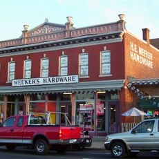
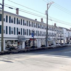
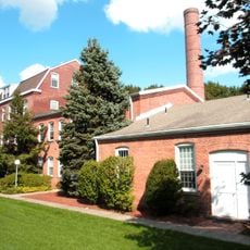
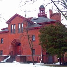
Hatters Park and several city squares still show traces of the hat-making industry that once shaped life here. The downtown core reveals its industrial roots through old factory buildings, while newer neighborhoods take on a more suburban character.

Practical

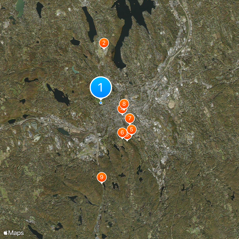
The city offers information on municipal services and current events through the myDanbury app, which can be helpful for longer stays. The downtown area is walkable, while a car proves useful for trips to outer neighborhoods since distances between districts tend to be wider.

Did you know?

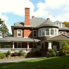
The hat manufacturing industry produced around five million hats per year by 1887, earning the city the nickname Hat City of the United States. Some factories later converted into residential and commercial spaces, so today lofts and shops stand where hats were once crafted.

Location
Inception
1702
Elevation above the sea
121 m
Part of
New York metropolitan area, Greater Danbury
Shares border with
Bethel, Brookfield, Ridgefield, Redding, Southeast, New Fairfield
GPS coordinates
41.40222,-73.47111
Latest update
December 12, 2025 21:34

AroundUs brings together thousands of curated places, local tips, and hidden gems, enriched daily by 60,000 contributors worldwide. Discover all places nearby (Fairfield County).

Around this place
Federal Correctional Institution, Danbury
United States of America

Federal Correctional Institution, Danbury

3.9 km
Hearthstone Castle
United States of America

Hearthstone Castle

3.3 km
Main Street Historic District
United States of America

Main Street Historic District

1.7 km
Charles Ives House
United States of America

Charles Ives House

3.2 km
Tarrywile
United States of America

Tarrywile

3 km
Danbury Museum and Historical Society
United States of America

Danbury Museum and Historical Society

2.6 km
Meeker's Hardware
United States of America

Meeker's Hardware

1.7 km
Wooster Mountain State Park
United States of America

Wooster Mountain State Park

5.7 km
Kohanza Reservoir
United States of America

Kohanza Reservoir

3 km
John Rider House
United States of America

John Rider House

2.6 km
Bennett's Pond State Park
United States of America

Bennett's Pond State Park

8.3 km
United States of America

Pine Mountain Reserve

6 km
Ball and Roller Bearing Company
United States of America

Ball and Roller Bearing Company

1.6 km
Greenwood Avenue Historic District
United States of America

Greenwood Avenue Historic District

6 km
P. Robinson Fur Cutting Company
United States of America

P. Robinson Fur Cutting Company

1.4 km
Joseph W. Pepin Memorial Building
United States of America

Joseph W. Pepin Memorial Building

2.5 km
Seth Seelye House
United States of America

Seth Seelye House

5.9 km
Rev. John Ely House
United States of America

Rev. John Ely House

6.4 km
Williams House
United States of America

Williams House

6.3 km
Danbury Railway Museum
United States of America

Danbury Railway Museum

1.8 km
Round1 Bowling & Arcade Danbury Fair Mall
United States of America

Round1 Bowling & Arcade Danbury Fair Mall

2.6 km
Octagon House
United States of America

Octagon House

1.3 km
United States of America

Eureka Lake

5.4 km
United States of America

Bear Mountain Reservation

5.4 km
United States of America

West Lake Reservoir

3 km
United States of America

Star Family Theatre

1.6 km
United States of America

Main Street Historic District

1.8 km
United States of America

Bushy Hill Pond

5.9 km
Show the full map
« Danbury - Manufacturing city in Fairfield County, Connecticut, US » is provided by Around Us (aroundus.com). Images and texts are derived from Wikimedia project under a Creative Commons license. You are allowed to copy, distribute, and modify copies of this page, under the conditions set by the license, as long as this note is clearly visible.

Discover hidden gems everywhere you go!

From secret cafés to breathtaking viewpoints, skip the crowded tourist spots and find places that match your style. Our app makes it easy with voice search, smart filtering, route optimization, and insider tips from travelers worldwide. Download now for the complete mobile experience.

Around Us App Screenshot

A unique approach to discovering new places

Le Figaro

All the places worth exploring

France Info

A tailor-made excursion in just a few clicks

20 Minutes

Around Us
Travel Guide & Maps
Download

Send to your phone

QR Code
1

Open the camera app on your mobile.

2

Point at the QR code with your camera. A notification will appear.

3

Tap the notification to open the link.